


DENVER — We tied another record afternoon high on Sunday, 79 degrees at DIA, which tied the previous record of 79 set back in 1879. Our normal high this time of year is 60 degrees.

Tonight will stay unusually warm for late March, with temperatures dropping into the upper 40s and low 50s around the Denver area and mid 40s across the plains.

Monday continues the stretch of very warm weather, with highs again reaching around 80 degrees, close to record levels. It will also turn breezy, especially in the afternoon, with gusts between 20 and 30 mph in the city and even stronger winds in the foothills. The combination of warmth, wind, and very dry air will create critical fire weather conditions, especially along the foothills and nearby plains, meaning any fires could spread quickly. There is a Red Flag Warning for high fire danger for metro Denver and the Front Range on Monday.
Monday night marks the beginning of a shift in the weather pattern. A cold front will move in from the north late at night into early Tuesday morning, bringing slightly cooler temperatures and a small chance of light precipitation, mainly over the plains. Lows will dip a bit compared to the previous night, signaling the transition away from the unusually warm conditions.
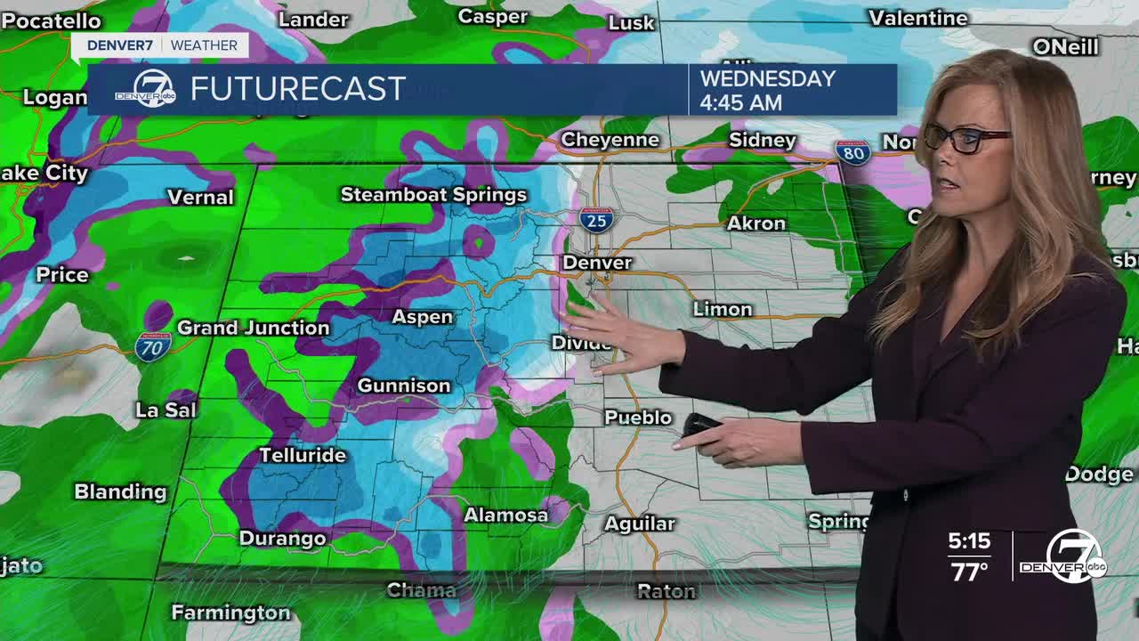
By Tuesday and Wednesday, cooler air settles into the region along with a noticeable increase in moisture. This will bring a better chance of precipitation, especially in areas near the foothills and higher terrain. The mountains are likely to see periods of snow, while the plains could see light rain, with only a slight chance of a rain-snow mix at times, mainly overnight when temperatures are lower.
Later in the week, conditions briefly warm up again on Thursday with highs returning to the 60s and 70s. However, this mild weather won’t last long, as another system is expected to move in by Friday. This could bring another round of cooler temperatures and unsettled weather into next weekend, although the exact timing and how much precipitation falls, especially on the plains, remains uncertain at this point.
DENVER WEATHER LINKS: Hourly forecast | Radars | Traffic | Weather Page | 24/7 Weather Stream
Click here to watch the Denver7 live weather stream.
