



We kicked the week off with a high of 72 degrees in Denver on Monday and while today won't be quite as warm, it will still well above normal for this time of year.
Look for plenty of sunshine early Tuesday, with some increasing cloud cover throughout the afternoon. Temperatures will remain around 10 to 15 degrees above average again on Tuesday, with highs returning to the upper 60s to near 70 degrees. A weak system north of Colorado will bring that increase in cloud cover and some gustier winds to the northeastern plains this afternoon and early evening.
Temperatures will dip slightly Wednesday, but it will still be about 10 degrees above normal. We'll see mid-60s on the plains and upper 40s to low 50s in the mountains.
By Thursday and Friday, temperatures could climb even higher as another area of high pressure strengthens over the Southwest. Both days could see highs in the upper 60s to low 70s across parts of the Front Range, with dry conditions and plenty of sunshine.
A weak system could bring a few light rain and snow showers to the mountains Saturday, while most of the lower elevations stay dry. The stretch of 60-degree temps will continue into early next week.
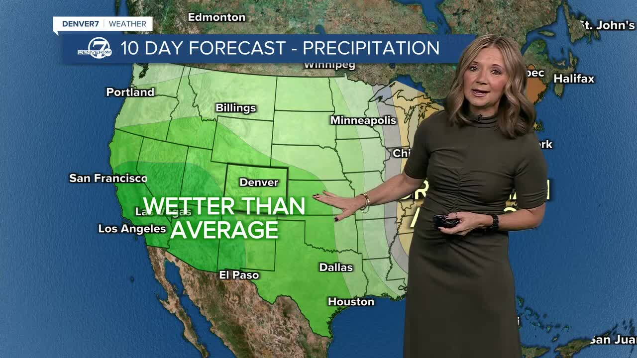
We'll see a bigger change by the middle of next week, with the potential for heavier snow in the mountains and perhaps our first flakes of the season in Denver.
DENVER WEATHER LINKS: Hourly forecast | Radars | Traffic | Weather Page | 24/7 Weather Stream
Click here to watch the Denver7 live weather stream.
