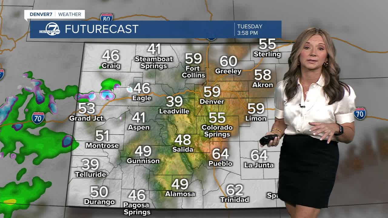


DENVER — It's a quiet start to the day across Colorado. We'll see a mix of sun and clouds across the plains, with 30s and 40s for the early morning drive. A weak ridge of high pressure remains in place and that will lead to two more warmer than normal days.

Temperatures will remain about 5 to 8 degrees above average, with more low to mid 60s along the Front Range. A few light rain/snow showers are possible in the mountains, especially west of the Palmer Divide.
Our next storm arrives Thursday into Friday, and models now show better agreement. The system will likely be weaker as it moves in, but chances for measurable precipitation are increasing. Denver looks to see mostly rain, with a small chance of some light snow late Thursday night or Friday morning. Higher spots like the Palmer Divide have a better shot at accumulating snow.
Everything tapers off Friday as the storm drifts east and temperatures dip a bit below normal. By the weekend, another ridge builds in, bringing back dry weather and near-normal temperatures through early next week.
Keep your eyes on the forecast for Thanksgiving week. There is a huge batch of arctic air with its sights set on a large portion of the U.S. That means quite a few major cities, including Denver, could be in the deep freeze for Thanksgiving.
DENVER WEATHER LINKS: Hourly forecast | Radars | Traffic | Weather Page | 24/7 Weather Stream
