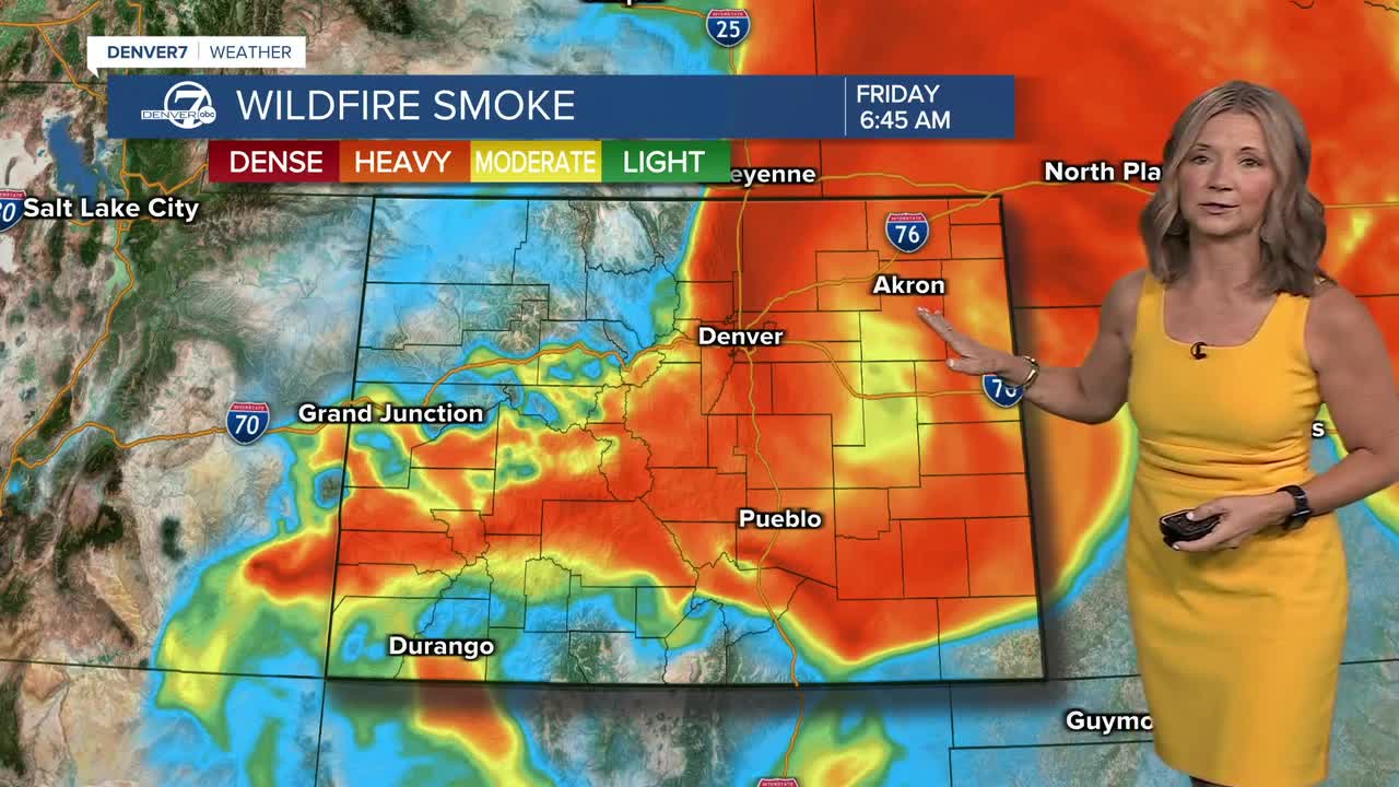


DENVER — It's another hazy morning as wildfire smoke filters in across the Denver metro area. This smoke will sink across the plains and in through the mountain valley's during the cooler early morning hours.
- Watch the full forecast in the video player below.
An air quality health advisory will continue until at least 4 p.m. Thursday for that wildfire smoke and high levels of ozone along the Front Range. If you have respiratory or heart issues, limit your time outdoors. Meanwhile, red flag warnings will go back into effect at 10 a.m. and continue through midnight Thursday for much of the high country and southern Colorado as winds gust up to 35 mph.
There could be a few severe cells on the far Eastern Plains Thursday. Large hail and damaging wind gusts up to 70 mph will be the biggest threats along with blowing dust. These storms will likely pop up close to Denver by 3 p.m. and then roll east over the plains.
The heat sticks around for the rest of the week as highs climb into the low to mid 90s in the Denver area Thursday and Friday — the two hottest days of the week.
So far, it looks like a very warm Fourth of July holiday across the state with low 90s in the Denver metro area. We'll be tracking the chance of a few gusty storms Saturday along the northeastern plains and along the Front Range on Sunday afternoon. Unfortunately, we're not expecting much rain out of them.
The warm, dry weather continues early next week with a better chance of storms Wednesday.
DENVER WEATHER LINKS: Hourly forecast | Radars | Traffic | Weather Page | 24/7 Weather Stream
Click here to watch the Denver7 live weather stream.
