


DENVER — It's looking like a great Saturday evening to be outside, especially if you’re planning to catch a local college football game or enjoy some fall activities.
Tonight will cool off quickly once the sun sets, thanks to the limited cloud cover. Overnight lows will drop into the 40s and 50s on the plains, while folks in the mountain valleys can expect a chillier night in the 30s. So, if you’re heading out early Sunday or staying out late tonight, a jacket might be a good idea.

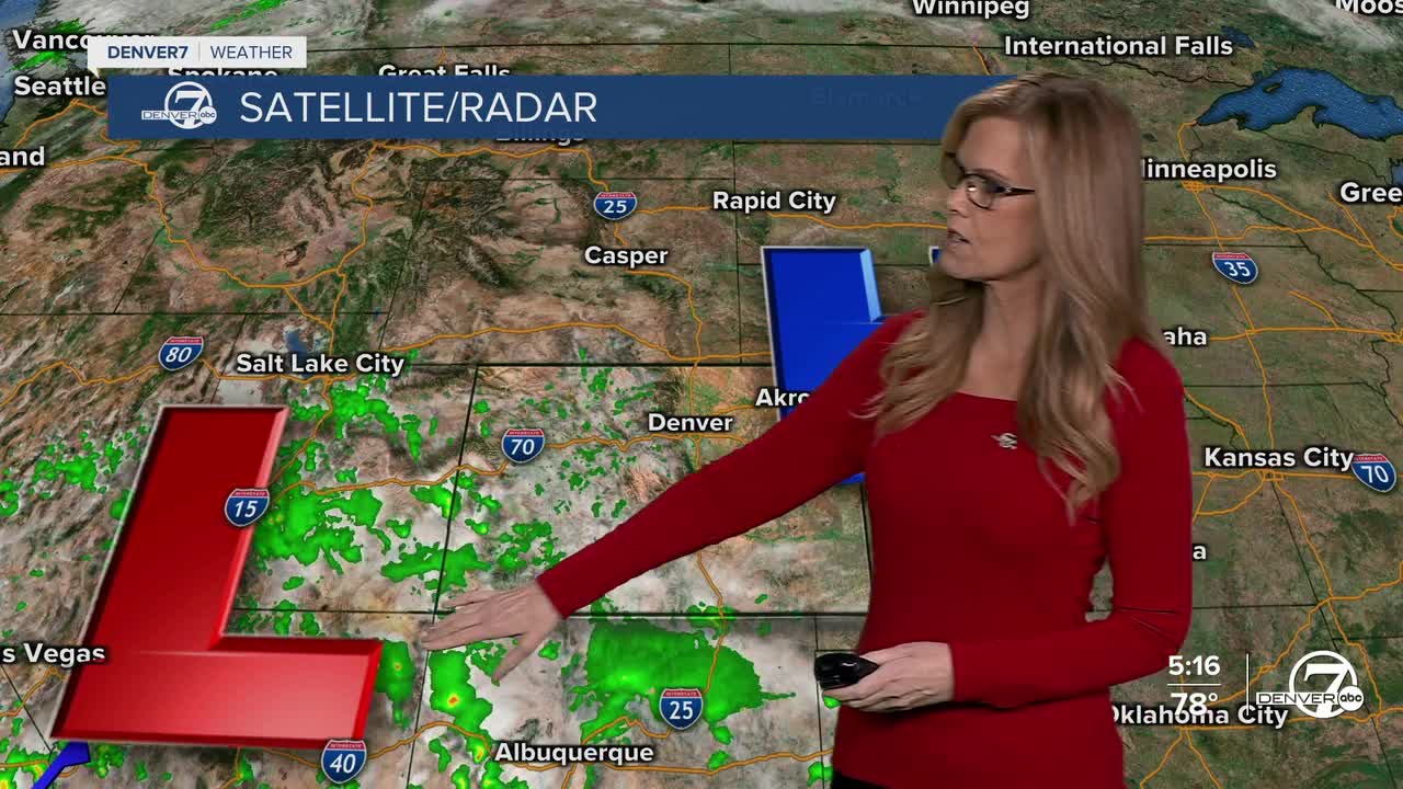
Sunday brings a shift in the weather pattern as the upper-level low starts to move northeast. This will allow moisture to spread farther into our area, increasing the chances for some scattered afternoon showers and storms, mainly in the mountains. While we could see a few of those storms drift onto the plains, they’ll likely stay isolated and weak. Thunderstorms may produce brief gusty winds and lightning, but nothing severe is expected. Temperatures will be a bit warmer, with 80s across the plains and cooler 60s and 70s in the high country.

Looking into next week, Monday could bring a slightly better shot at showers and storms reaching the plains, especially in the afternoon. By midweek, the pattern settles into a more typical westerly flow, keeping things relatively quiet until a new trough begins to approach from the Pacific Northwest later in the week. This system could bring a return of moisture and slightly cooler temperatures just in time for the weekend.
DENVER WEATHER LINKS: Hourly forecast | Radars | Traffic | Weather Page | 24/7 Weather Stream
Click here to watch the Denver7 live weather stream.
