

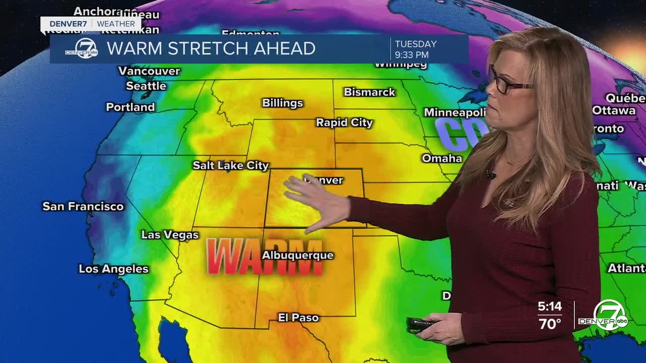


DENVER — Starting tonight, it stays dry and much warmer than usual, and that trend is going to stick around through midweek. Temperatures will keep climbing each day, so by Tuesday and Wednesday it’s going to feel more like early summer than spring, with highs running nearly 20 degrees above normal.

Monday and Tuesday look especially warm and quiet. Highs will push well into the 80s across lower elevations, with mild conditions even in the mountains. There’s just a slight chance of a brief, light sprinkle in the mountains late Tuesday, but most places will stay dry with plenty of sun. By Wednesday, things get a bit more intense.

It will still be very warm, but winds will pick up quite a bit, especially in the afternoon and evening. Gusts could get pretty strong, and combined with very dry air, that creates a high risk for fire danger across the region.Those breezy conditions may linger into Thursday, though temperatures will cool down a bit, settling back into the 60s for highs. It’ll feel more comfortable compared to earlier in the week, but still relatively dry overall.Looking ahead to Friday and the weekend, the pattern shifts.
Cooler, more unsettled weather moves in, bringing increasing chances for rain on the plains and snow in the mountains. It doesn’t look like a major storm, but rather off-and-on showers through the weekend, which would be a welcome change after such a warm and dry stretch.
DENVER WEATHER LINKS: Hourly forecast | Radars | Traffic | Weather Page | 24/7 Weather Stream
Click here to watch the Denver7 live weather stream.
