

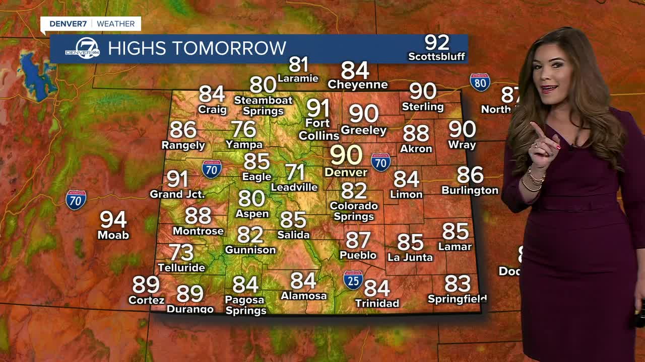


It feels like fall is in the air! We’re getting a little taste of it behind an early morning cold front, with cooler temperatures and drier air settling in. Don’t get too excited just yet, though — we still have a few more 90-degree days to come.
A few storms will develop across southeastern Colorado tonight, and there’s a chance one or two could sneak north into southern Lincoln County late tonight. It looks like storms will linger throughout the overnight hours, bringing heavy rain and lots of lightning to the southeastern corner of the stat.
Thursday will be warmer and dry, with temperatures climbing back above normal. Look for plenty of sunshine along the Front Range with highs in the upper 80s to low 90s.
We’ll start to see a little more moisture return Friday as another disturbance moves across the northern Rockies. A few high-based showers could pop up during the afternoon and evening in the mountains. Meanwhile, it’ll be another hot day across the plains, with temperatures around 90 degrees before a cold front moves south Friday night.
That front will bring temperatures back closer to normal Saturday, but it will also help kick off a more active pattern for the weekend. We’ll see increasing chances for afternoon showers and thunderstorms, especially across the mountains and northern Colorado. Sunday brings one more summer-like day, with highs in the low to mid 90s along the Front Range.
Another cold front arrives Sunday night, bringing cooler temperatures for Monday and into next week. And if the long-range forecasts pan out, Sunday could be one of — or possibly the last — 90-degree days of the season. Of course, Colorado weather has plenty of time to change its mind before then!
Look for low to mid 80s for much of next week with a chance of storms each day in the Denver metro.
DENVER WEATHER LINKS: Hourly forecast | Radars | Traffic | Weather Page | 24/7 Weather Stream
Click here to watch the Denver7 live weather stream.
