



DENVER — Rinse and repeat! Today marks day 24 of 90+ degree temperatures in Denver and we're only halfway through the summer season!
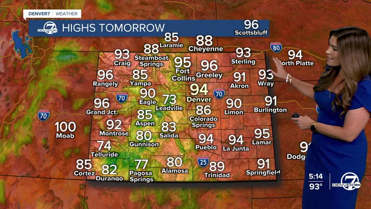
The 90+ heat makes a comeback Thursday and the stretch continues through the weekend before monsoon rains bring relief early next week.
- Watch the full forecast in the video player below.
Look for scattered showers across the High Country this evening, with clearing skies after 10 p.m. Lows will dip into the 50s in the mountains with low to mid 60s along the plains.
We're in for a sunny start to the day with highs in the low to mid 90s around the Urban Corridor. It'll be a bit breezy in the afternoon in the metro with scattered showers returning to the High Country especially south of Interstate 70.
The heat sticks around as we head into the weekend. In fact, temperatures will soar close to the triple digits on Sunday afternoon around the Denver metro area. Good news — relief is finally on the way!
Starting Sunday evening, we'll begin to see a gradual increase in monsoonal moisture, but the bigger change arrives early next week. Shower and thunderstorm chances will increase dramatically across the region Monday and Tuesday as deeper moisture moves in. Some storms could produce locally heavy rain, making for a few active weather days next week.
As many fires burn across Colorado, this rain is a welcome sight to see. We'll be monitoring too much of a good thing though, and the potential for flash flooding.
Meanwhile, temperatures will drop back into the 80s around Denver for most of next week. Enjoy the brief cool off while it's here!
DENVER WEATHER LINKS: Hourly forecast | Radars | Traffic | Weather Page | 24/7 Weather Stream
Click here to watch the Denver7 live weather stream.
