



DENVER — Severe storms are still rumbling along the far Eastern Plains tonight while skies have cleared a bit in the Denver metro area.
A Severe Thunderstorm Watch is in effect until 10 p.m. for areas east of Interstate 25. Large hail, strong 70+ mph wind gusts, heavy downpours, and even a brief landspout are all in the cards tonight. Localized flooding could also develop where the heaviest rain falls.
- Watch the full forecast in the video player below.
Storms will eventually move out as skies gradually clear overnight. Temperatures will dip into the upper 50s by Friday morning.
Friday looks a little quieter as high pressure begins to build in. A few afternoon and evening thunderstorms are still possible, but they should be more isolated and generally less intense than Thursday's storms. Look for daytime highs in the upper 80s to low 90s along the Urban Corridor.
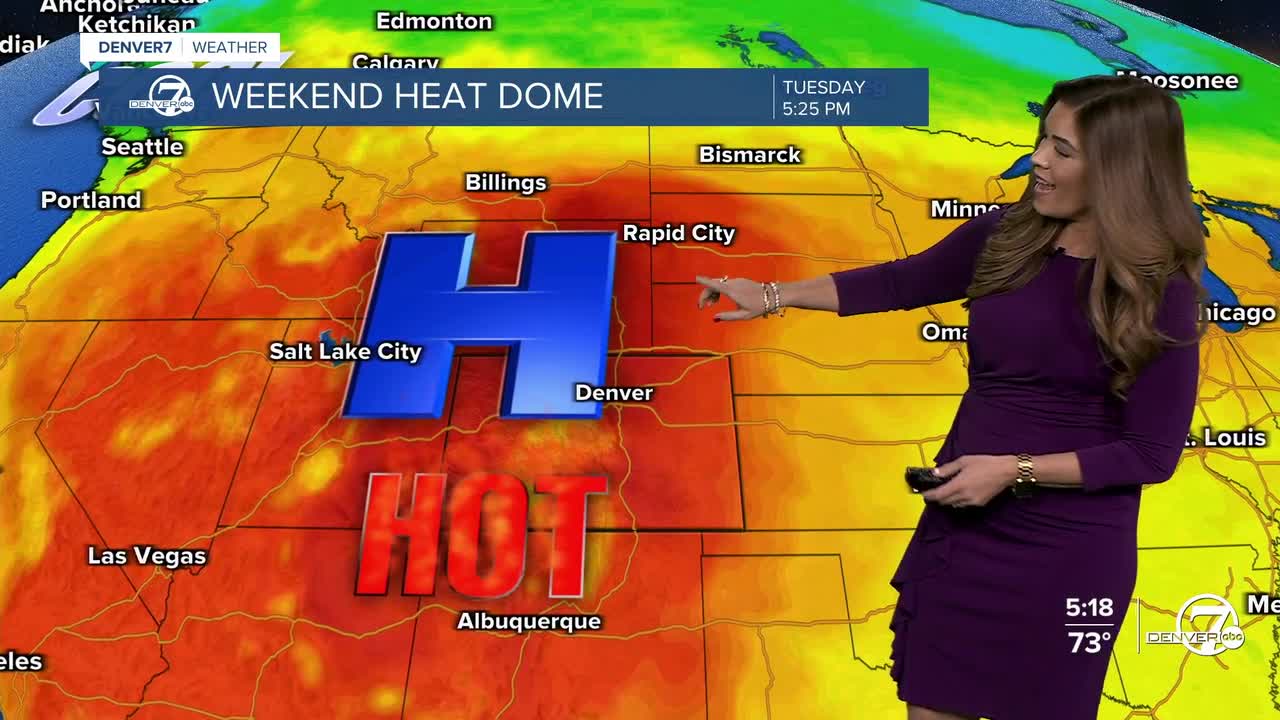
That strong dome of high pressure will impact Colorado starting this weekend, sending temperatures skyrocketing into the upper 90s to near triple-digits. It comes with very dry conditions, only a small chance of an afternoon storm and an increase in fire danger concerns.
Extreme Heat Warnings will go into effect from noon Saturday until midnight Monday for areas across northwestern Colorado as temperatures could climb up to 106-degrees. Heat Advisories will be in effect during that same time frame for areas in southwestern Colorado. Highs will be between 97-degrees and 102-degrees.
The well above-average, near record-breaking heat sticks around through at least the middle of next week. This will be the hottest stretch of weather we've seen this year.
Don't forget to stay hydrated, lather on the sunscreen and take breaks from the sun if you can!
DENVER WEATHER LINKS: Hourly forecast | Radars | Traffic | Weather Page | 24/7 Weather Stream
Click here to watch the Denver7 live weather stream.
