


DENVER — Tonight, winds will increase for the foothills as downslope flow strengthens. Gusty winds will mainly stay close to the foothills, with only limited impact farther east. Conditions will remain very dry, and temperatures will stay mild overnight.

On Sunday, strong winds in the foothills combined with near-record warmth and very low humidity will create elevated to critical fire weather conditions. The strongest gusts are expected in wind-prone foothill areas, while the plains and I-25 corridor will be warm, dry, and mostly breezy at times. High temperatures may approach or exceed records, especially near Denver and Boulder. There's also elevated fire danger for the Front Range and the foothills with Red Flag Warnings in effect on Sunday.

By Monday into Tuesday, a weather disturbance will bring light to moderate snow back to the mountains, with the heaviest snowfall favoring the northern mountains. Lower elevations will remain dry, with breezy conditions and continued mild temperatures compared to normal for early January.
From Tuesday into Wednesday, dry and mild weather will continue across the plains and urban corridor. Mountain snow will taper off, and temperatures will stay above seasonal averages, though not as warm as Sunday.
Looking ahead to Thursday and Friday, there are signs of a colder and more unsettled pattern returning. This could bring a shift toward more winter-like conditions, with cooler temperatures and a chance for some snowfall, including possibly light snow for metro Denver.
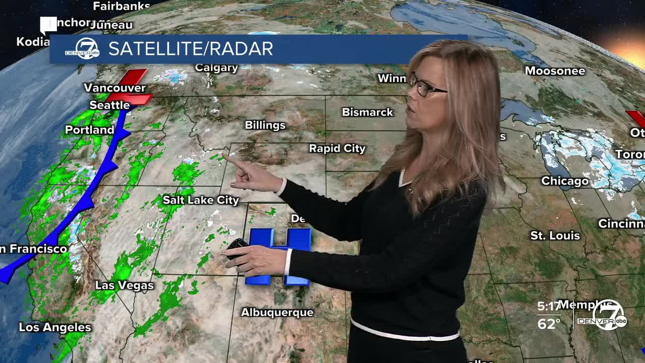
DENVER WEATHER LINKS: Hourly forecast | Radars | Traffic | Weather Page | 24/7 Weather Stream
Click here to watch the Denver7 live weather stream.
