

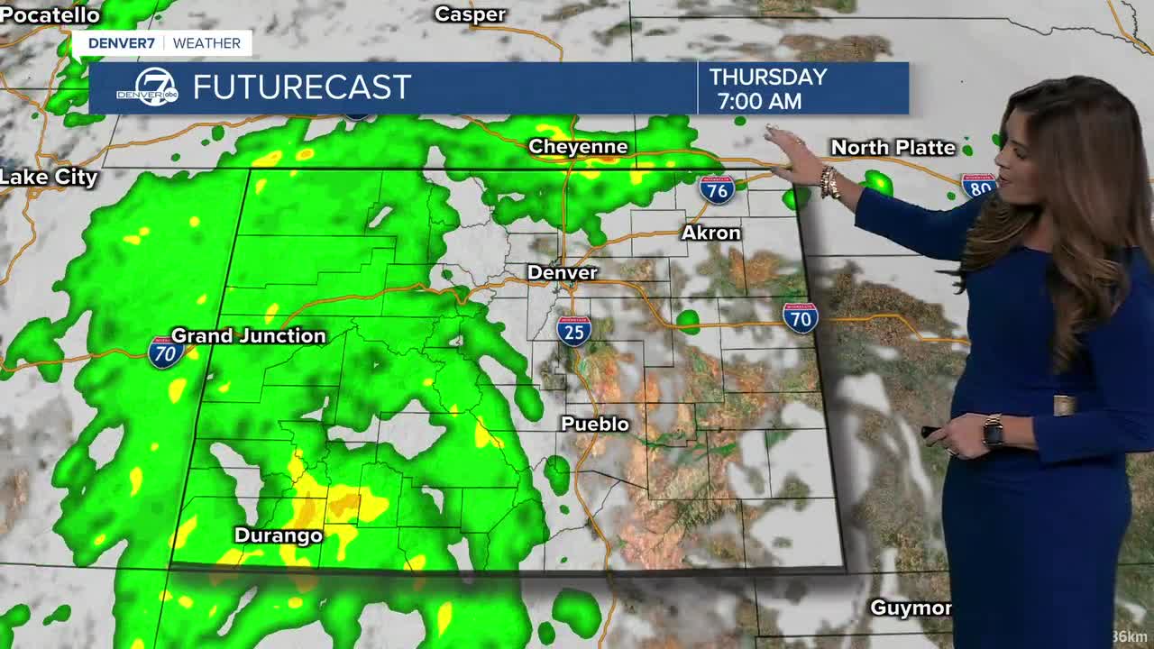


DENVER — The wet weather ramps up tonight, Colorado! A big moisture surge is headed our way, as showers and thunderstorms become more widespread tonight and Thursday. Heavy rain and localized flooding will be the biggest concerns as the rain lingers for the Thursday morning commute.
A disturbance moving out of the Desert Southwest will help push showers and thunderstorms northward overnight and into Thursday morning. Then, another round of storms could fire Thursday afternoon along the Front Range and Eastern Plains. Moisture levels could climb to more than twice what's typical for this time of year — setting the stage for some very efficient rainmakers.
In fact, a Flood Watch has been issued for parts of southwestern Colorado through late Thursday night as heavy rain could trigger some localized flooding and mudslides in that area.
Thursday is the day to watch for heavy rain and localized flooding. The atmosphere will be loaded with moisture, so storms don't have to be particularly strong to produce a lot of rain. Any storms that move slowly or repeatedly pass over the same area could quickly lead to water-covered roads and localized flooding.
And the unsettled pattern doesn't end Thursday. Scattered afternoon and evening storms are expected Friday and Saturday, with Saturday looking a little wetter as an upper-level low moves closer. Temperatures will be fairly comfortable, topping out in the upper 70s to low-80s around the Denver metro area.
Sunday turns cooler as another system moves across Wyoming, with highs mainly in the 70s across northeast Colorado and some 60s farther north.
Monday and Tuesday look quieter, mostly sunny and seasonable, with highs in the mid-70s to low 80s.
DENVER WEATHER LINKS: Hourly forecast | Radars | Traffic | Weather Page | 24/7 Weather Stream
Click here to watch the Denver7 live weather stream.
