



DENVER — After some strong storms earlier in the evening for metro Denver, skies will clear tonight and we'll have mild overnight temperatures.

Saturday will be mostly sunny and warmer as high pressure builds back into the region. Afternoon highs will climb into the low to mid 90s, and only a slight chance of a brief shower or thunderstorm is expected over the mountains. Most areas will stay dry with plenty of sunshine.

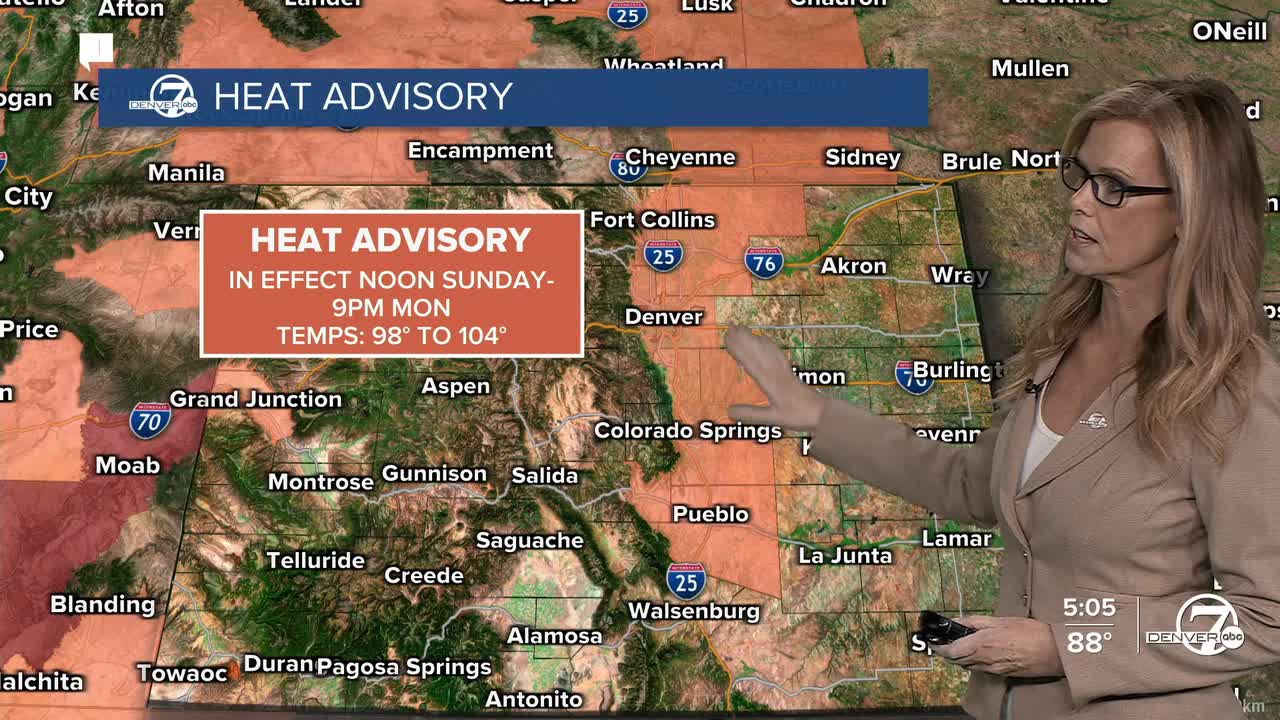
The heat really ramps up on Sunday and continues into Monday. High temperatures will reach the upper 90s to low 100s, and warm overnight lows won't offer much relief. A Heat Advisory is in effect along the I-25 corridor through late Monday evening, so be sure to stay hydrated and limit time outdoors during the hottest part of the day.
A weak cold front will bring a little relief on Tuesday, knocking temperatures down a few degrees. There could be a few scattered afternoon showers or thunderstorms, but most places will stay dry. Even with the cooldown, it'll still feel warm for early August.
By Wednesday, temperatures should remain a bit lower than the weekend's peak, with highs mainly in the 80s to low 90s. Dry weather will continue for most areas, and the warming trend is expected to return later in the week as high pressure strengthens again.
DENVER WEATHER LINKS: Hourly forecast | Radars | Traffic | Weather Page | 24/7 Weather Stream
Click here to watch the Denver7 live weather stream.
