

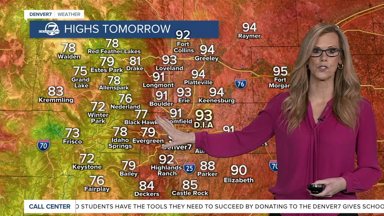


DENVER — A few lingering storms are still possible over the mountains and far eastern plains before things quiet down overnight.

Thursday will bring fewer storms overall, but scattered afternoon showers and thunderstorms are still expected, mainly over the mountains, foothills, and Palmer Divide. A few stronger storms could also develop out on the northeast plains later in the day.

Any stronger storms through Thursday afternoon could produce heavy rain and localized flash flooding, especially over burn scars and along and east of the southern I-25 corridor. While the overall flood threat will be lower than today, it's still worth keeping an eye on changing weather conditions.
Another round of isolated strong thunderstorms is possible on Friday. Some storms could bring gusty winds and brief heavy rain, although exactly where the strongest storms develop remains a bit uncertain.
Looking ahead to the weekend, the weather turns drier and much warmer as high pressure builds back in. Temperatures will climb above normal, with hot conditions likely by Sunday and Monday.
DENVER WEATHER LINKS: Hourly forecast | Radars | Traffic | Weather Page | 24/7 Weather Stream
Click here to watch the Denver7 live weather stream.
