DENVER- After severe weather on Sunday afternoon which included tornadoes, hail, and high winds- our weather will calm down going into this upcoming week.
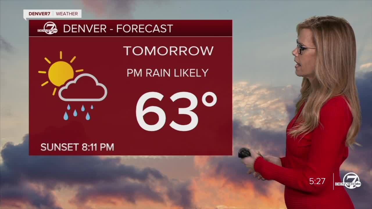
As we move into Monday, things will stay unsettled, but the severe weather threat will be much lower. It’s going to be cooler and windier with more scattered showers and a few thunderstorms around, especially during the afternoon. The highest chances for showers will be south of I-76 and near the Palmer Divide. While lightning and brief heavy rain are possible, the storms aren’t expected to be strong or severe like Sunday’s.

In the high country, winter weather continues to be a factor. Snowfall is picking up over areas above 10,000 feet, particularly along the Continental Divide, and will continue into early Monday morning. A Winter Weather Advisory remains in place, with 5 to 7 inches of snow possible by dawn. Travel in these higher elevations may be slick and hazardous overnight, so be prepared for winter driving conditions if you’re heading into the mountains.

By Tuesday, some lingering showers might still be around, but the trend will be toward drier and calmer weather. Most of the state will feel cooler compared to last week, but the severe threat should remain minimal. Mountain areas may see some leftover snowfall early, with improving conditions by the afternoon as the system moves out.
Looking ahead to the rest of the week, a much warmer and more stable pattern sets in. Sunshine will return, and high temperatures will climb steadily through the week, especially on the plains. By the end of the week, many areas will see highs in the 80s, making it feel more like summer again after this brief stormy and wintry stretch.
DENVER WEATHER LINKS: Hourly forecast | Radars | Traffic | Weather Page | 24/7 Weather Stream
Click here to watch the Denver7 live weather stream.


