

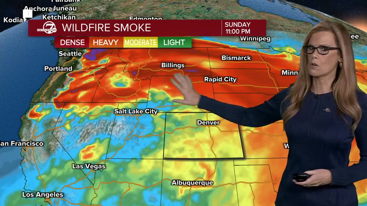


DENVER- Tonight, we’ll see a few more high-based showers moving off the mountains and across the I-25 Corridor. Most of these will be more wind than rain, with gusts commonly reaching 30 to 45 mph and a few stronger gusts possible. The Heat Advisory for the northern I-25 Corridor and Denver metro will expire tonight.
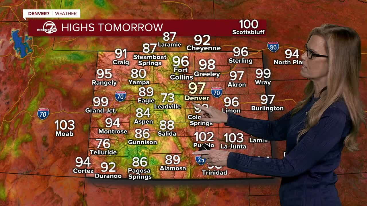
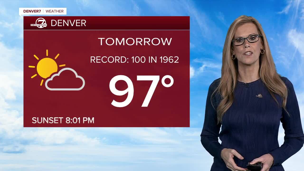
Monday and Tuesday will stay hot, with highs likely in the 90s. We’ll see another chance for afternoon showers and thunderstorms, mainly in the mountains, but a few could drift onto the plains. Like today, strong and gusty outflow winds will be the main concern, while most areas stay pretty dry.
By Wednesday, the weather pattern starts to shift. More moisture will move into Colorado, bringing increasing chances for showers and thunderstorms. Rain chances should become more widespread by Thursday and Friday, and some areas could see locally heavy rainfall.
Temperatures will also start cooling off by Thursday. Highs should generally drop into the low to mid 80s, although there’s still some uncertainty on exactly how cool we’ll get. Either way, it should feel noticeably cooler compared to the heat we’ve had lately.
Looking ahead to the weekend and early next week, the cooler pattern looks like it will stick around. We’ll have fairly regular chances for showers and thunderstorms, along with temperatures staying much more comfortable than what we’ve seen recently.
DENVER WEATHER LINKS: Hourly forecast | Radars | Traffic | Weather Page | 24/7 Weather Stream
Click here to watch the Denver7 live weather stream.
