


DENVER — Tonight will stay quiet and easygoing. Skies remain mostly clear with dry air in place, so it’ll feel pretty comfortable overall.
Monday brings a noticeable shift for NE Colorado as a backdoor cold front slides in. Temperatures will drop compared to today, especially out toward the northeast part of the state where it could feel 10 to 15 degrees cooler. Winds will pick up a bit during the day, coming in from the east, but there’s a little more moisture with this front, so it won’t be as dry as recent days and fire danger should stay in check.
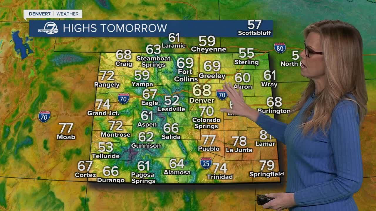
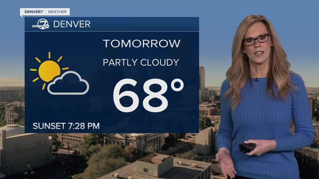
By Monday night into Tuesday, a weak system passes mostly to our south. Most areas stay dry, but the mountains and nearby foothills could pick up a little light precipitation, and a few sprinkles might sneak out onto the plains. It’s not a big storm by any means. Temperatures rebound on Tuesday, warming back above normal with a mix of sun and passing clouds.
Wednesday looks like the most active day of the week. Winds ramp up significantly, especially along the foothills and across the plains, with some gusty conditions possibly spilling into the Denver area. It’ll also turn quite dry again, which could bring elevated fire weather concerns. There’s also a chance for a bit of light mountain precipitation during the day, followed by a passing front Wednesday evening that could bring a brief shot of light precipitation to lower elevations.
Looking toward the end of the week and into the weekend, the pattern turns a bit more unsettled. Moisture starts increasing again, and we’ll see better chances for more widespread rain and snow across Colorado. It’s still a bit early to pin down exact timing and amounts, but overall it looks like a shift toward cooler, cloudier, and occasionally wetter conditions as we head into next weekend.
DENVER WEATHER LINKS: Hourly forecast | Radars | Traffic | Weather Page | 24/7 Weather Stream
Click here to watch the Denver7 live weather stream.
