DENVER — We are in for one more day of dry and mild weather before our next storm hits. You'll find mostly sunny skies, with temperatures in the 40s by early morning. We climb to the 60s by early afternoon! A weak ridge is hanging out over the state, keeping things quiet, dry, and a little warmer than normal.
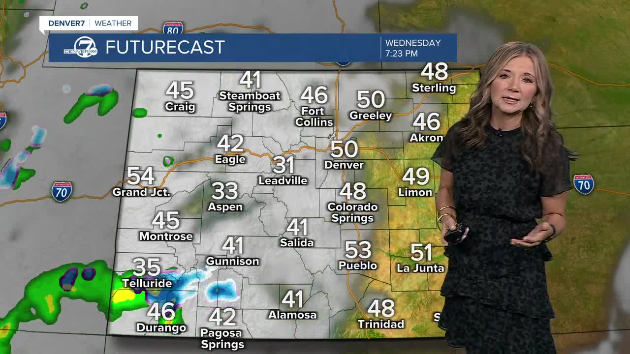
Our next storm is set to hit the state on Thursday. Snow will develop across the southwestern mountains Wednesday night, with around 4 to 8 inches of snow likely across the San Juan Mountains and Sangre de Cristos throughout the day Thursday.
We'll see increasing clouds early Friday along the Front Range, with rain showers developing in the afternoon for the evening commute. This rain will switch over to snow in spot, likely south along Palmer Divide and on the west side of town closer to the foothills. So we could see some sloppy conditions Thursday night for parts of the metro area. Right now, it looks like around .5 to 1 inch of precipitation, so a good dose of moisture!
Temperatures will return to our seasonal norms on Thursday, with highs in the 50s.We'll see a rain/snow mix linger into early Friday, with clearing skies by Friday night. We only climb into the mid to upper 40s on Friday afternoon.
We're in for plenty of sunshine this weekend, with 50s on Saturday and Sunday!
DENVER WEATHER LINKS: Hourly forecast | Radars | Traffic | Weather Page | 24/7 Weather Stream
Click here to watch the Denver7 live weather stream.


