

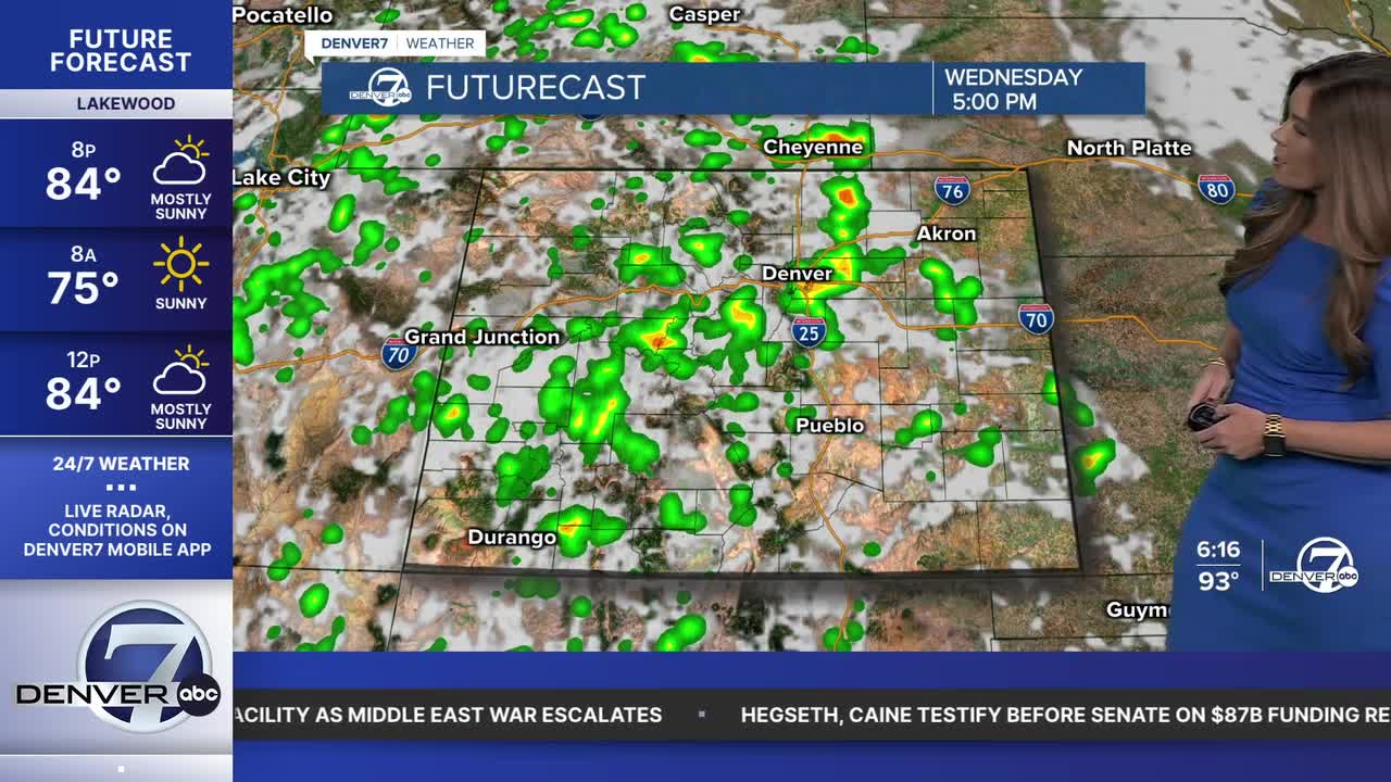


DENVER — Bring on the rain! Look for a few scattered showers and storms this evening not only in the mountains but along the Interstate 25 corridor as well. Most likely, the rain will move into northern Colorado late tonight. Once the showers move out, partly cloudy skies move in with lows in the mid to upper 60s by Wednesday morning.
- Watch the full forecast in the video player below.
It'll be another sunny start to your Wednesday around the Denver metro area with highs soaring into the low to mid 90s. Look for increasing clouds in the afternoon with scattered showers and storms racing off the foothills and onto the plains around 3 p.m. to 4 p.m.
We're finally tapping into some of that monsoon moisture that the mountains have seen over the past few days. These showers will help to cool things off closer to sunset, with 80s across the metro area for the evening commute. The storms will continue to charge across the Eastern Plains Wednesday evening, with some areas seeing the rain continue overnight.
We're in for mostly cloudy skies Thursday with more widespread showers and the potential for heavy pockets of rain in the afternoon and evening. Temperatures will cool a bit, with highs back to the mid-to-upper 80s. Enjoy the break from the heat, and the refreshing rain as warmer and drier weather return Friday and into this weekend.
So far, it looks like daytime highs will skyrocket back into the upper 90s Saturday and Sunday under mostly sunny skies. We'll be in near record-setting territory in Denver. The record high on Saturday is 99-degrees, last set in 1963 and the record high on Sunday is 100-degrees, last set in 1910.
Look for another chance of storms along the Front Range starting next week.
DENVER WEATHER LINKS: Hourly forecast | Radars | Traffic | Weather Page | 24/7 Weather Stream
Click here to watch the Denver7 live weather stream.
