


DENVER — Starting tonight, Denver will finally cool down after a record-setting day. Temperatures soared into the low 80s this afternoon, breaking not only the daily record high but also the all-time record for November at 83 degrees for DIA.
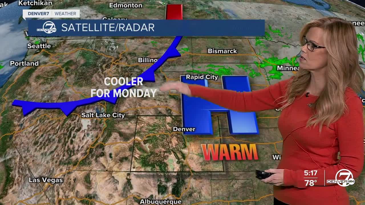
As the sun sets, a cold front will slide in from the northeast, bringing in cooler air and shifting winds. Expect those breezy northwest gusts to die down this evening before turning to the northeast overnight. Skies will stay mostly clear, with a few high clouds drifting in late tonight and into Monday morning.

Monday will feel noticeably cooler compared to today’s summer-like warmth. Highs will only reach the low 60s across the plains, while the foothills and mountains stay in the 40s and 50s. Winds will pick up again by late morning, blowing from the southeast with gusts around 25 to 30 mph on the eastern plains. It’ll still be a mostly sunny day, and despite the breeze, it should feel pleasant overall, a more typical November day.

By Tuesday and Wednesday, the warmth returns as the upper ridge builds back over Colorado. Temperatures will rise above normal once again, with mild and breezy conditions expected across much of the state. The higher terrain could see gusty winds up to 45 mph, especially near the foothills and in South Park, where humidity will dip into the teens. Fire danger will be something to keep an eye on midweek, though widespread critical conditions aren’t expected.
Thursday brings the next weather change, though it’s looking minor for most areas. A passing weather system will track mostly north of us, keeping Denver and the plains dry. The northern mountains, especially around the Park Range, could see some light snow showers as moisture brushes the area. Chances for snow there are around 20 to 30 percent, with no significant accumulations expected.
As we head into the weekend, another weak system will swing just north of Colorado, possibly bringing another round of light snow to the northern mountains. A cold front tied to that system will nudge temperatures down closer to seasonal normals, with highs in the 50s along the Front Range. After that, high pressure is expected to build back in, keeping things quiet and dry into early next week. Overall, aside from a few mountain snow showers, it looks like a calm stretch of weather ahead for early November.
DENVER WEATHER LINKS: Hourly forecast | Radars | Traffic | Weather Page | 24/7 Weather Stream
Click here to watch the Denver7 live weather stream.
