



After a gorgeous day, it'll be a mostly clear and breezy night along the Front Range. Overnight lows will drop into the upper 50s around Denver with lower 50s in Northern Colorado.
The 90+ degree heat is on as we head toward the end of the week!
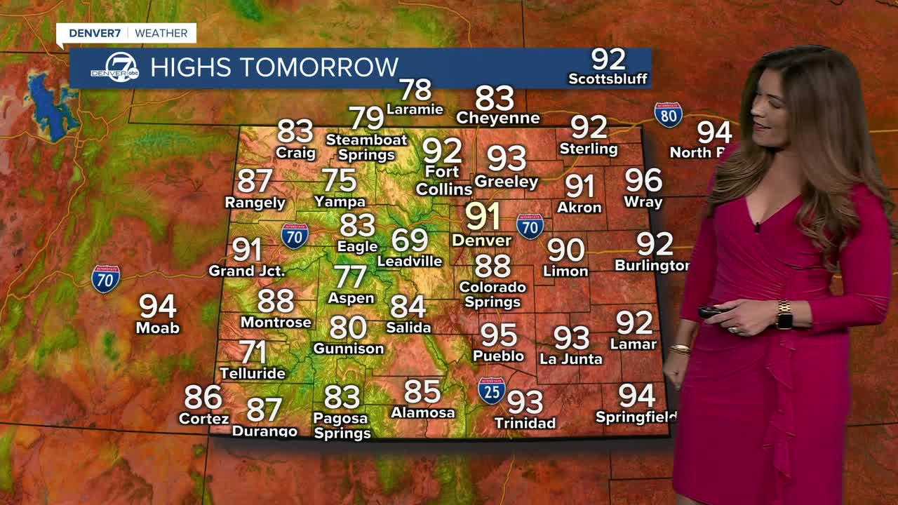
We’re looking at another mostly dry day, with highs pushing into the lower 90s across the plains on Friday. A few high-based showers could pop up in the northern mountains, with increasing clouds and breezy winds across the plains late in the afternoon. A cold front will then slide through Friday night, bringing a few late-night showers to the northern mountains and foothills.
Saturday brings a quick break from the heat. Temperatures will cool behind the front, while moisture starts to work its way back into Colorado. That combination should help bring scattered afternoon showers and thunderstorms back to the higher elevations. We're in for partly sunny skies and highs in the mid 80s Saturday afternoon.
After a brief break from the heat, Sunday turns sizzling again. Highs will climb back into the low to mid 90s across the plains, and we’ll have a little more moisture to work with. That means slightly better odds for afternoon storms, including across the lower elevations.
Are you ready for it to feel like fall? Big weather changes arrives next week. Several cold fronts are expected to move through Colorado, bringing cooler temperatures and better chances for rain and storms. Monday should be fairly close to normal ahead of a front arriving overnight. Then Tuesday could feel dramatically different, with highs potentially stuck in the 70s across much of the lower elevations. And there may be another cold front waiting in the wings later next week. So enjoy the heat while it lasts — a pretty big temperature swing is coming our way next week!
DENVER WEATHER LINKS: Hourly forecast | Radars | Traffic | Weather Page | 24/7 Weather Stream
Click here to watch the Denver7 live weather stream.
