


DENVER — Tonight will be calm and dry, with only a few clouds lingering as things quiet down. Winds will also ease up and shift more southerly overnight.

Monday is shaping up to be a really nice day across northeast Colorado. We’ll see sunshine most of the day with dry conditions and warmer temperatures. Highs will climb into the low to mid-80s, making it feel like a solid late-summer day. If you're hoping to spend time outside, Monday is your best bet. There may be some storms forming over Wyoming later in the day, but they should mostly stay north of us, though a few could clip far northern Colorado by evening.

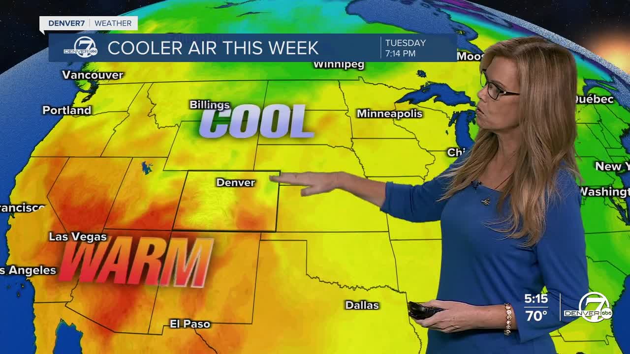
Things start to change again Monday night into Tuesday. A cold front will drop down from the north, bringing cooler temperatures and increasing the chances for scattered showers and thunderstorms by Tuesday. The unsettled weather is tied to an upper-level low pressure system that will slowly move across Wyoming and into eastern Colorado. As that system moves through, expect on-and-off showers and a cooler, more unsettled feel to the day on Tuesday and again on Wednesday.
Looking ahead to Thursday and beyond, the forecast gets a little murky. There’s still some uncertainty in how the pattern will play out. A ridge of high pressure is expected to build to our west, while that same low lingers just east of Colorado. This setup suggests that Thursday will likely stay on the cooler and cloudier side, with the chance for a few more showers. The warming trend we were hoping for later in the week might take its time getting here.
For the weekend, it’s looking like Saturday might bring a bit of improvement with a slight lean toward warmer and drier conditions, but it’s not a sure thing. Forecast models aren’t all in agreement yet, and there could still be some smaller weather disturbances moving through.
DENVER WEATHER LINKS: Hourly forecast | Radars | Traffic | Weather Page | 24/7 Weather Stream
Click here to watch the Denver7 live weather stream.
