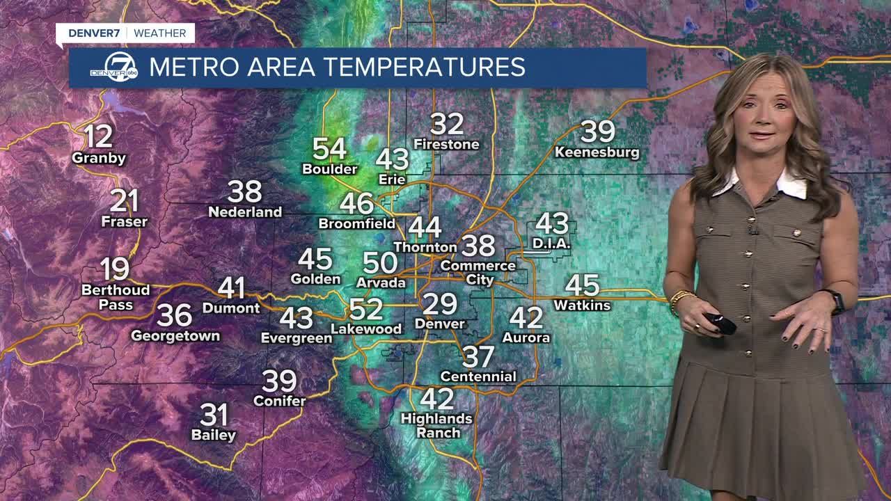


DENVER — Another unseasonably warm day is in store! Temperatures will soar into the upper 50s to low 60s along the Front Range Tuesday afternoon under a partly sunny sky.

This warmer than normal weather is due to an upper-level ridge of high pressure that is parked over the state, and much of the west. A weak front will push into the state Tuesday night, bringing a slight chance of showers to the northeastern plains and very light snow along the spine of the Continental Divide. The high mountain passes could be a little wet early Wednesday.
Look for slightly cooler temperatures Wednesday in Denver but it'll still be above average in the mid 50s.
A stronger cold front arrives Thursday evening into Friday, bringing more seasonal temperatures by the end of the work week. It'll be windy Friday and Saturday but still dry across eastern Colorado.
DENVER WEATHER LINKS: Hourly forecast | Radars | Traffic | Weather Page | 24/7 Weather Stream
Click here to watch the Denver7 live weather stream.
