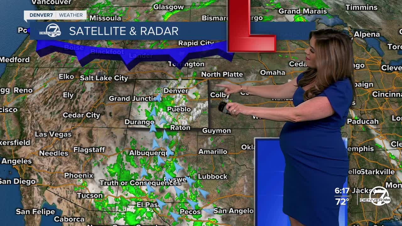


DENVER — Look for slow-moving, scattered storms and heavy rain showers across much of Colorado this evening. There is a low risk of severe weather along the Front Range, but we could see some localized flooding, blustery winds and small hail.
This heavier rain is due to a monsoon flow that will return to much of the state, especially on Wednesday. We'll see more widespread thunderstorm activity in the mountains and on the plains. This bump in tropical moisture could lead to some localized flooding, particularly in mountain areas and spots that have already seen recent rain.
Temperatures will take a brief dip mid-week as a weak cold front rolls through. This front will bring some slight cooling to the plains and offer a temporary break from the recent stretch of 90-degree afternoons. It won’t be a big cool down, but it will be about 5 to 10 degrees cooler. We'll see highs in the mid to upper 80s on Wednesday and Thursday.
The relief doesn't last long as 90-degree heat returns on Friday. Daytime highs soar into the low to mid 90s on Friday and Saturday and many lower elevation spots could be flirting with triple digits on Sunday. Denver's current record on Sunday is 98 degrees, last set in 1964.
With the return of the heat and somewhat drier conditions, thunderstorm chances may decrease again, making for a near record-breaking hot, mostly dry weekend across the region.
DENVER WEATHER LINKS: Hourly forecast | Radars | Traffic | Weather Page | 24/7 Weather Stream
Click here to watch the Denver7 live weather stream.
