


DENVER — It's been a beautiful few couple of days across Colorado, but we're in for a few minor changes over the next 24 hours.

A weak storm will roll through the region and it's already bringing some rain and snow to the Western Slope. You'll find wet roads west of the Continental Divide Thursday morning, with more showers rolling east of the divide late Thursday afternoon and evening.
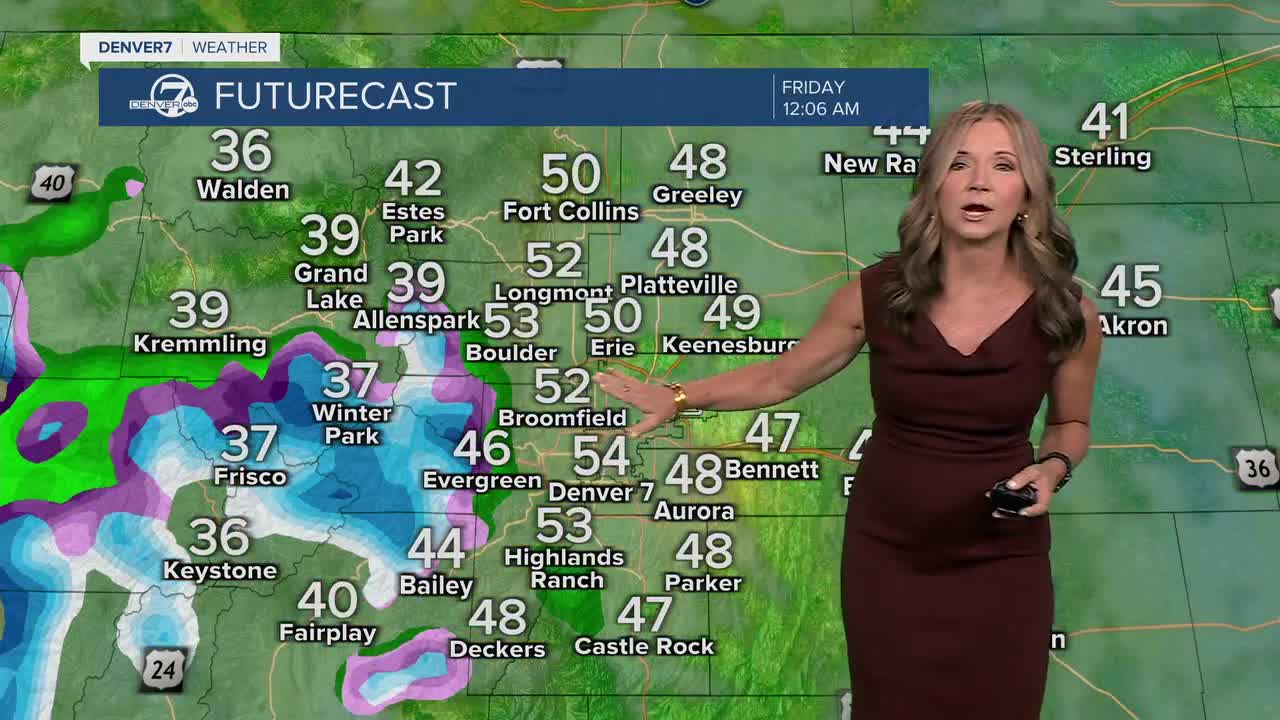
We'll see increasing clouds across the plains, but it will likely stay dry. There will be a slight chance of showers across the metro area Thursday night, with clouds through early Friday. Temperatures will remain pretty mild, though, with highs once again in the upper 60s Thursday afternoon and that's about five degrees above normal for late October.
Most of the wet weather will stay in the high country, where the higher peaks could see around 1 to 3 inches of snow by early Friday morning.
We'll see clouds early Friday, with more sunshine by the afternoon. Friday will be a touch cooler near Denver with highs in the low to mid 60s.
Saturday is the warmest day on our seven-day forecast as temperatures climb back into the low 70s. It will be a nice night downtown for the Nuggets home opener!
However, a stronger system looks to move across our area late Sunday into Monday, bringing gusty winds and another round of mountain snowfall.
This system will bring cooler temperatures into early next week for the metro.
DENVER WEATHER LINKS: Hourly forecast | Radars | Traffic | Weather Page | 24/7 Weather Stream
Click here to watch the Denver7 live weather stream.
