

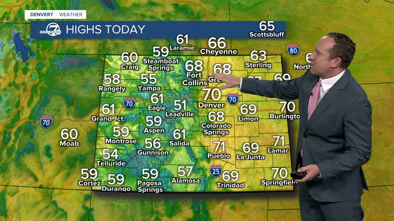



DENVER — After warming into the upper 60s on Sunday, highs will continue to warm for us on Monday, with some metro Denver neighborhoods topping out in the lower 70s. Skies will be clear and winds will be light in the city today, with breezy NE wind gusts this morning to 20 mph on the eastern Plains.
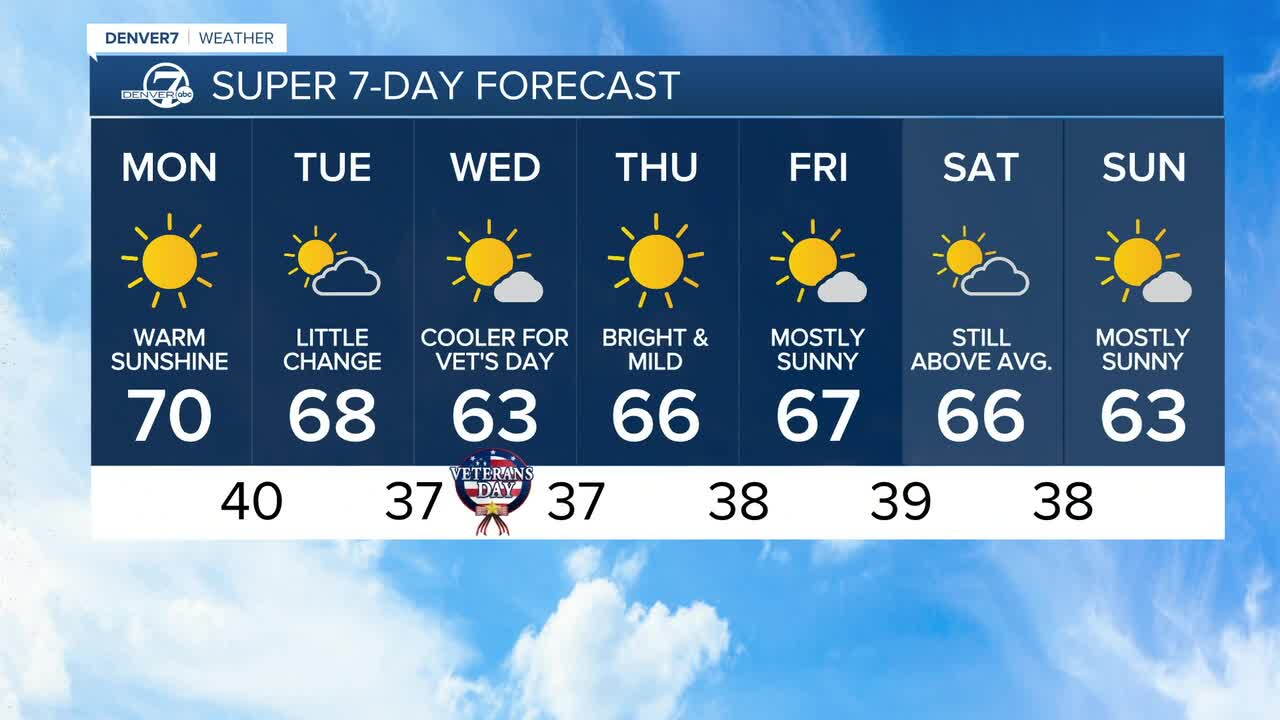
Highs will remain around 10-15°F above average on Tuesday, with Front Range highs returning to the upper 60s to near 70 degrees. Some energy moving in from the northern branch of the jet stream will lead to an increase in clouds by Tuesday afternoon, but no precipitation is expected state-wide.
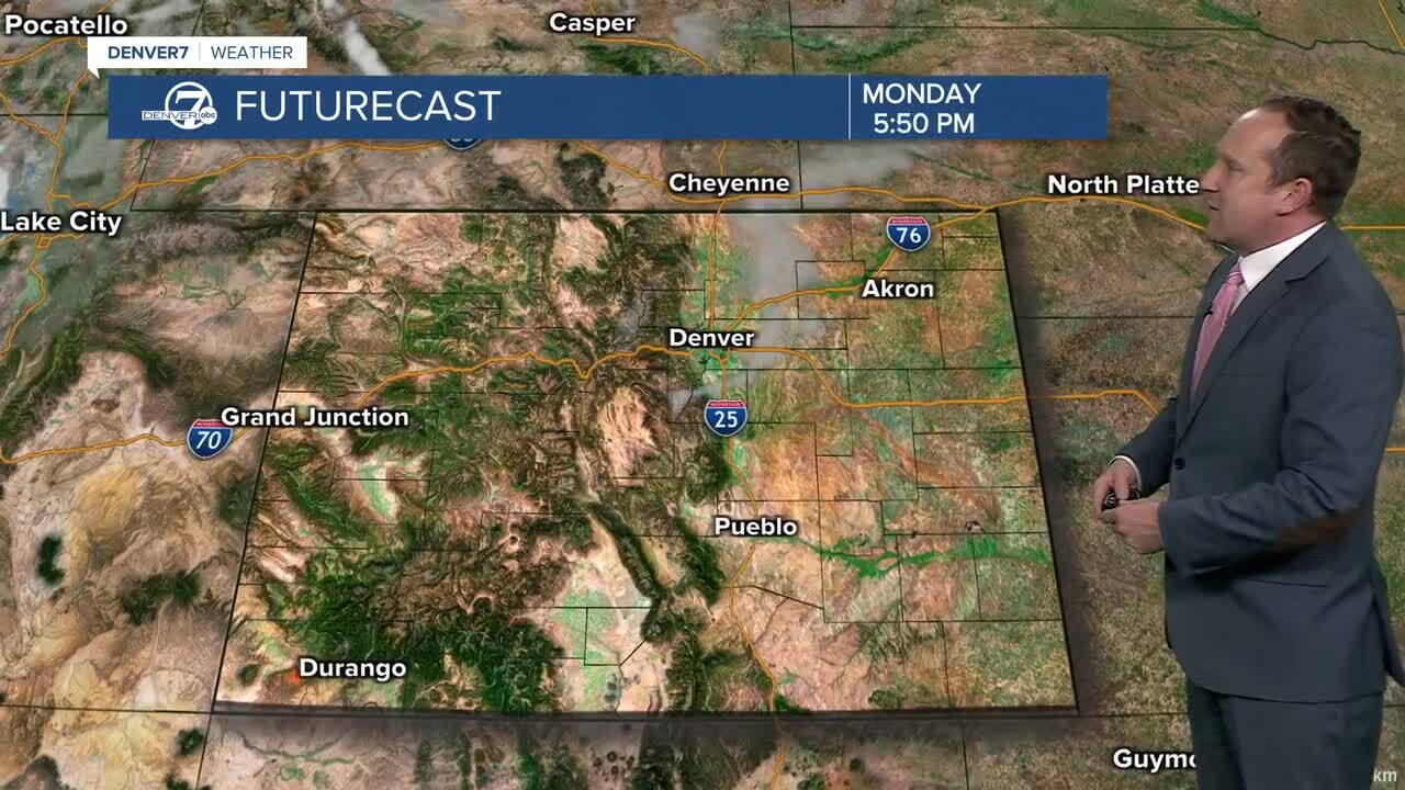
A Tuesday night cold front will drop highs down by as much as 5-10 degrees on Wednesday. Even with the cool down, we'll still warm into the lower 60s, which keeps us well above the average high of 55°F.
High pressure will return late this week, setting the stage for more mild and sunny weather. Highs in Denver late this week will rebound into the middle to upper 60s.
Some models are now hinting at the potential for light snow in the mountains this weekend. These same models keep the Front Range dry and mild, with highs in the 60s.
Looking into next week, that's when we could finally see a pattern flip, with the potential for heavier snow in the mountains, and perhaps our first flakes of the season in Denver.
DENVER WEATHER LINKS: Hourly forecast | Radars | Traffic | Weather Page | 24/7 Weather Stream
Click here to watch the Denver7 live weather stream.
