



DENVER — Scattered showers and storms are firing up across Northern Colorado this evening, tracking off to the southeast. Look for heavy pockets of rain, lots of lightning, thunder and strong winds.
These storms move out around 10 p.m., and skies will gradually clear overnight. Temperatures dip into the low to mid 60s by early Friday morning.
- Watch the full forecast from Meteorologist Danielle Grant, in the video player below.
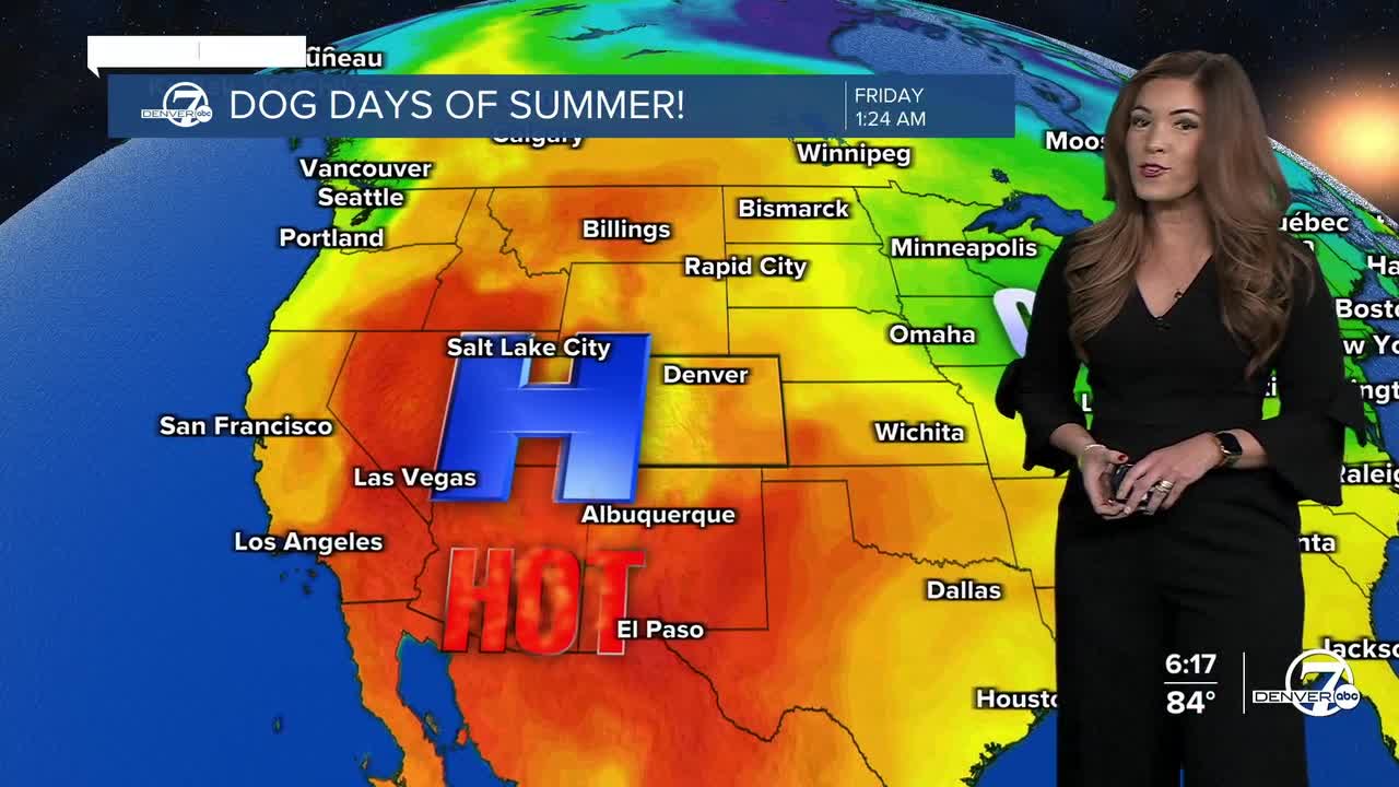
It'll be a sizzling and sunny Friday across much of the Front Range and Eastern Plains as warmer and drier weather return for the end of the work week. After a very brief break from the heat Thursday, daytime highs will soar into the mid to upper 90s. Stay cool and hydrated as the heat isn't going anywhere, anytime soon.
So far, it looks like daytime highs will skyrocket back into the upper 90s Saturday with potential triple-digits on Sunday under mostly sunny skies. We'll be in near record-setting territory in Denver. The record high on Saturday is 99 degrees, last set in 1963 and the record high on Sunday is 100 degrees, last set in 1910.
It stays very hot on Monday with highs in the upper 90s. Luckily, we'll see another chance of storms along the Front Range each and every day next week. Temperatures will cool into the lower 90s for the rest of the week.
DENVER WEATHER LINKS: Hourly forecast | Radars | Traffic | Weather Page | 24/7 Weather Stream
Click here to watch the Denver7 live weather stream.
