



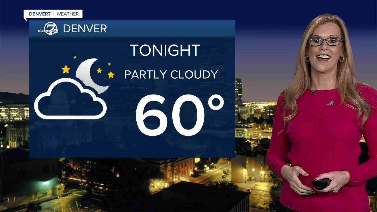
DENVER —Tonight, partly cloudy skies and calm conditions after another active afternoon. Highs were in the low to mid 80s again for the Front Range on Sunday.
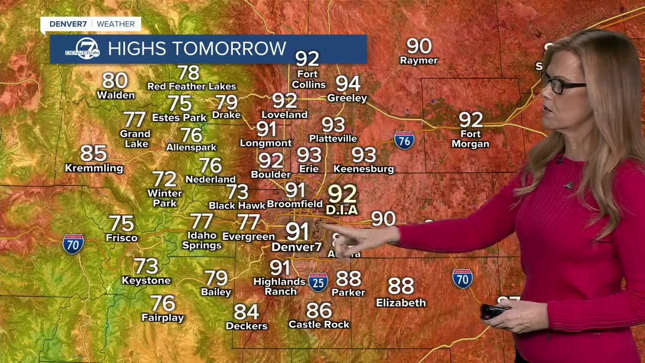
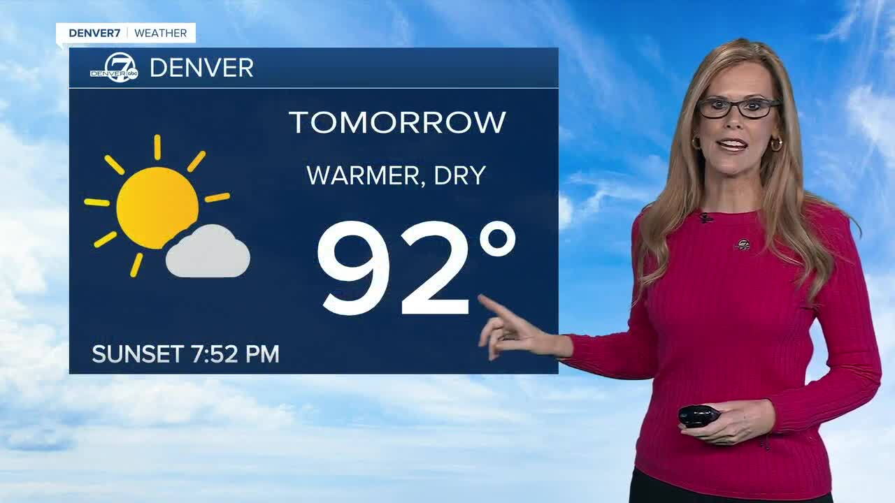
Monday will be warmer and drier, with highs in the upper 80s to lower 90s across the plains. Most areas, including metro Denver will stay dry.
Tuesday will bring another warm day, with temperatures climbing a few degrees. A few high-based showers and storms may develop late in the day and continue into the evening as a front moves through. Overall, it should be a mostly dry day with only a few isolated storms.
Wednesday looks to be the most active day of the week, with cooler temperatures and more moisture moving back in. Scattered thunderstorms are expected, and some storms could become severe. Strong winds, hail, and heavy rain will once again be possible.
Thursday and Friday should turn drier and warmer, with highs in the lower to mid 90s across the plains. Temperatures will remain above normal into the weekend, while increasing monsoonal moisture could bring back scattered afternoon and evening storms, especially near the mountains.
DENVER WEATHER LINKS: Hourly forecast | Radars | Traffic | Weather Page | 24/7 Weather Stream
Click here to watch the Denver7 live weather stream.
