

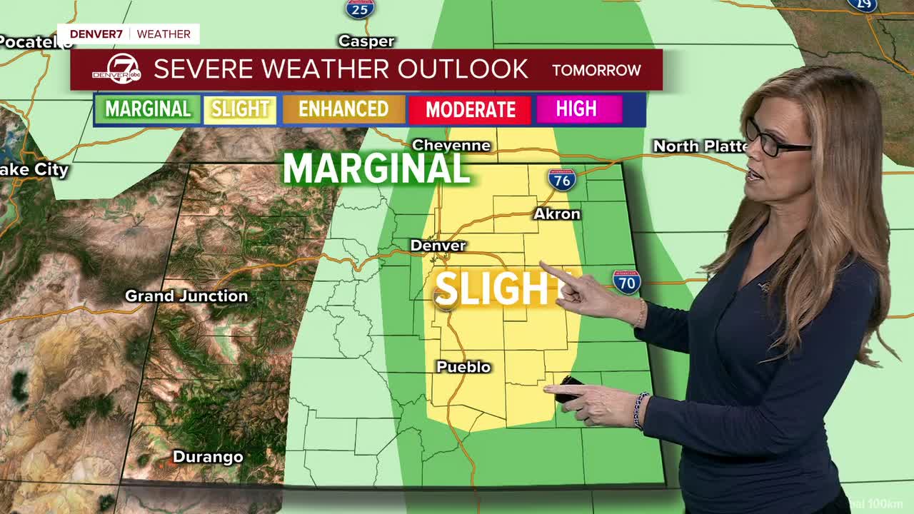


DENVER —Sunday will stay fairly unsettled as monsoon moisture hangs around. Scattered showers and thunderstorms are expected again, although storms should be a little less widespread than today. The Palmer Divide and nearby areas could see the highest storm chances, but most of the plains could still get a passing shower or storm.
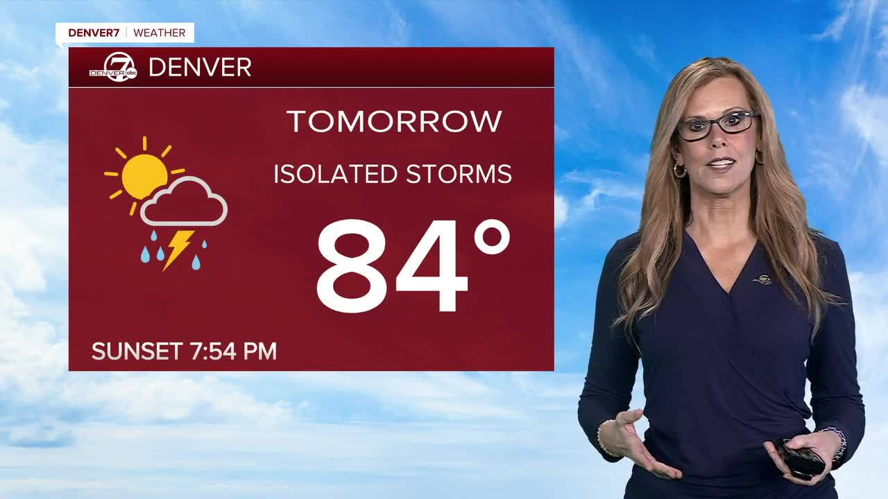
Things will quiet down and warm up Monday and Tuesday. High pressure will move closer to the area, bringing drier weather and lower rain chances. Temperatures should climb to around 90 degrees across the plains.
By Wednesday, there could be another round of isolated to scattered showers and thunderstorms as a disturbance moves through the area. It looks like a brief return to wetter weather before high pressure starts building back in.
Overall, the weekend stays wet and stormy before we dry out and heat up early next week. Monday and Tuesday look to be the warmest and driest days, with temperatures likely reaching the low to mid 90s by the end of next week and into next weekend.
DENVER WEATHER LINKS: Hourly forecast | Radars | Traffic | Weather Page | 24/7 Weather Stream
Click here to watch the Denver7 live weather stream.
