

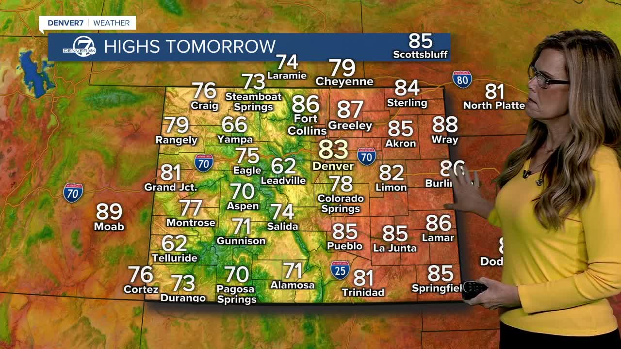


After some heavy rain this afternoon and evening, we'll see those storms push across the eastern plains. A little clearing will lead to some patchy fog across the eastern plains late tonight into early Saturday morning.
Saturday looks much quieter, with mostly sunny skies and warmer temperatures. Highs should reach the low to mid 80s across the lower elevations, while the mountains stay mainly in the 60s and 70s.
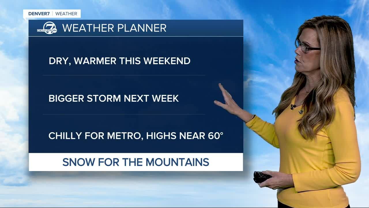
Sunday stays warm and mostly dry as well. There’s a small chance for a few mountain sprinkles, but most areas should stay dry, with temperatures remaining above normal.
Things get more complicated Monday into Tuesday as a trough moves into the region. There’s still quite a bit of uncertainty, but shower and storm chances will increase, especially Tuesday into Wednesday. Depending on how the system tracks, we could see anything from limited precipitation to a more widespread rain event. Highs will drop into the 60s on Tuesday afternoon for metro Denver.
For the mountains, snow chances are currently around 30% to 40% above 11,000 feet late Monday into Tuesday. After that, the pattern looks to turn drier with temperatures closer to normal toward Thursday and Friday, although another system could bring mountain snow chances late next weekend.
DENVER WEATHER LINKS: Hourly forecast | Radars | Traffic | Weather Page | 24/7 Weather Stream
Click here to watch the Denver7 live weather stream.
