


DENVER — It's a fairly mild start to the day. We'll see more sunshine for the morning commute, with temperatures in the 20s and 30s early on.

You'll find increasing clouds across the plains as a weak system approaches. Despite the clouds, it'll be the warmest day of the work week with highs in the lower 50s along the urban corridor and mid to upper 50s on the Eastern Plains.
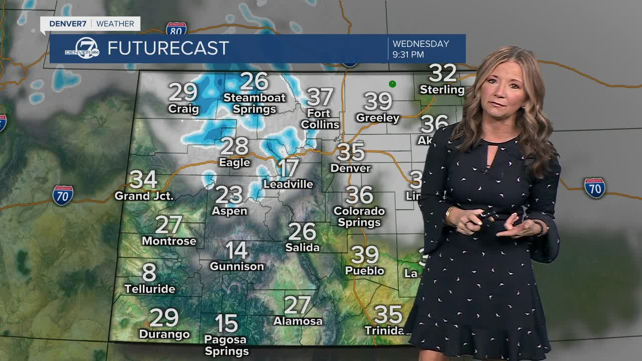
While the metro just sees clouds from this incoming weak storm, the northern and central mountains will see some light snow. That snow will develop after sunrise and continue into early Thursday. So far, snowfall amounts look light with around 1 to 3 inches of accumulation. At this point, there are no alerts for this approaching storm.
Temperatures will be slightly cooler in the Denver metro area on Thursday with highs in the upper 40s under a partly cloudy sky. A backdoor cold front will keep daytime highs seasonal and in the mid 40s Friday but under a mostly sunny sky.
A ridge of high pressure builds back into the state over the weekend, ushering in warmer weather. Look for highs in the mid 50s Saturday and Sunday along the Front Range. The mild weather sticks around early next week with possible showers in the forecast Tuesday.
DENVER WEATHER LINKS: Hourly forecast | Radars | Traffic | Weather Page | 24/7 Weather Stream
Click here to watch the Denver7 live weather stream.
