

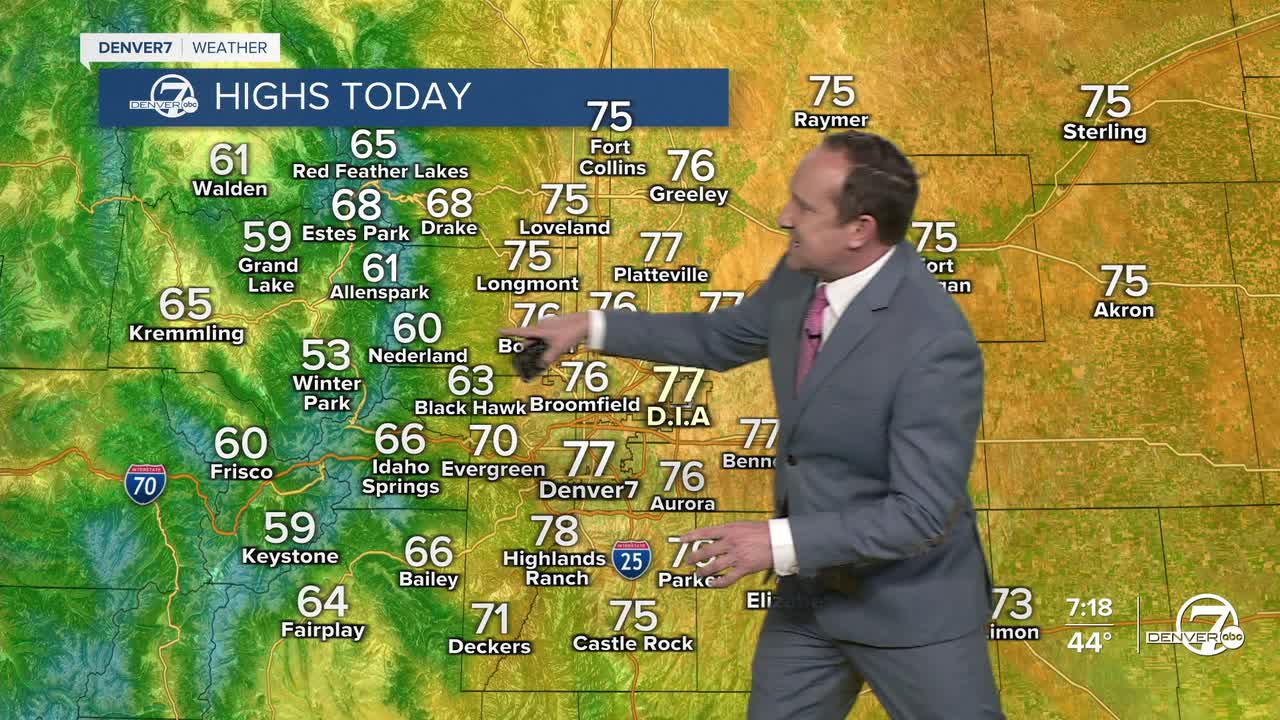


Freeze Warnings on the eastern Plains should be allowed to expire by 9 am. Temperatures in the metro area have started out cool in the 30s and 40s, but will warm quickly today under the influence of high pressure. This will allow for a healthy warm-up as Saturday's highs climb into the middle to upper 70s in the metro area.
Low tonight will be less chilly, with temperatures cooling down to the 30s and 40s across the I-25 corridor. Sunday will start out with sunshine, followed by increasing clouds towards the afternoon and evening hours as a weak disturbance approaches the state from the southwest. While skies should remain dry for most areas, southwestern Colorado could see a few rain and snow showers to close out the weekend.
A few more showers will be possible into the day on Monday, with snow levels at or above 10,000 feet. As energy lifts off to the northeast, we can't rule out a few showers reaching the Front Range foothills and mountains on Monday. Highs will remain the 70s, with dry skies on the Plains.
Temperatures will warm back into the middle to upper 70s from next Tuesday to next Thursday, which puts us around 15 degrees above average. The longer range models are in favor of a more organized storm system reaching the state towards the end of next week, with impacts possibly lasting into next weekend. It's a bit far out to nail down specifics at this point, but right now, we see the greatest potential for heavier precip in the mountains versus the potential for lighter precip on the Plains. Stay tuned...
DENVER WEATHER LINKS: Hourly forecast | Radars | Traffic | Weather Page | 24/7 Weather Stream
Click here to watch the Denver7 live weather stream.
