



DENVER — Starting tonight, it’ll stay hot with just a few isolated high-based showers and thunderstorms around. Most places won’t see much rain, but any storm that does develop could produce strong, gusty winds before fading later this evening.
Tuesday will be another hot day, although temperatures may ease back just a little. Scattered afternoon and evening showers and thunderstorms are expected, with the main impact being gusty outflow winds. Rainfall will generally be light, but a few storms could become strong.

Wednesday brings a better chance for thunderstorms, especially from the Front Range east across the plains. A few storms could become strong to severe, with gusty winds, hail, and heavy rain possible. Temperatures will be a little closer to normal thanks to the increased cloud cover and storm activity.

Thursday looks similar, with another round of afternoon and evening thunderstorms. The highest risk for stronger storms will be east of the I-25 corridor, while the mountains could see a few isolated dry thunderstorms that may spark new wildfires because of limited rainfall.
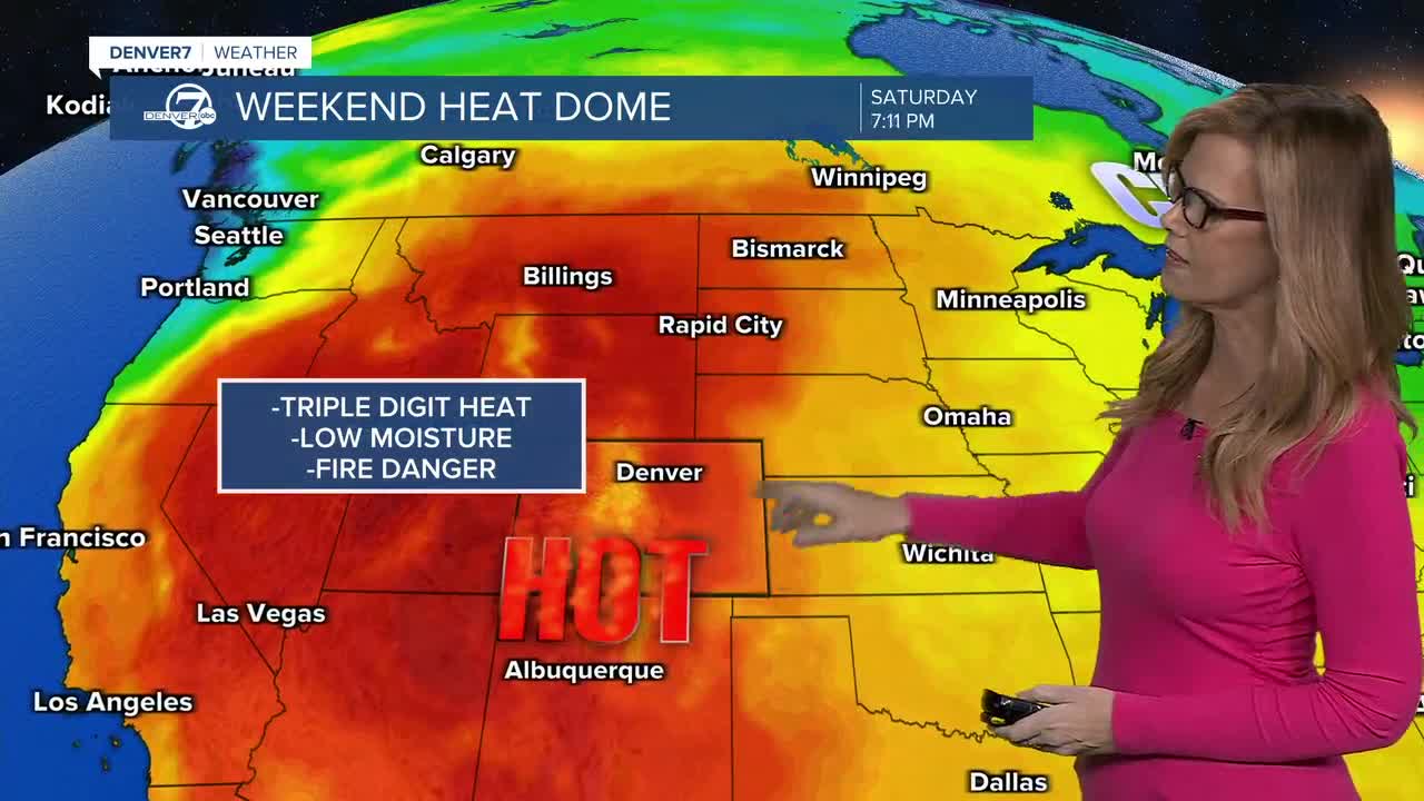
By Friday, the weather starts trending drier before a major heat wave settles in this weekend. Temperatures will climb back toward 100 degrees with very little chance for thunderstorms, meaning there won’t be much relief from the heat through the start of next week.
DENVER WEATHER LINKS: Hourly forecast | Radars | Traffic | Weather Page | 24/7 Weather Stream
Click here to watch the Denver7 live weather stream.
