

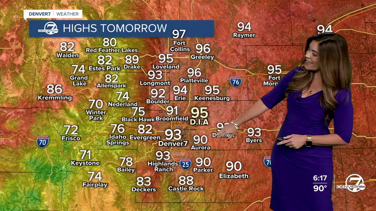


DENVER — Bring on the rain! Look for a few showers and thunderstorms over the mountains tonight, especially along and south of Interstate 70. Most communities on the plains will stay dry and breezy with warm evening temperatures.
- Watch the full forecast in the video player below.
Skies will clear out overnight as lows drop into the mid 60s on the plains and 50s in the High Country.
Get ready for more sunshine and heat as we wind down the work week! Temperatures soar into the low to mid 90s again Friday afternoon in the Denver metro and along the plains. It'll be another busy afternoon in the High Country with scattered showers and thunderstorms with some heavier pockets of rain near Colorado's burn scars.
A dome of high pressure rolls atop Colorado this weekend, bringing some us serious heat! Sunday looks to be the hottest day with near record-breaking high temperatures. Many lower elevation locations will reach the upper 90s, and a few spots could briefly top 100 degrees. Good news — relief from the heat rolls in early next week!
Starting Sunday evening, we'll begin to see a gradual increase in monsoonal moisture, but the bigger shift in the weather pattern arrives early next week. Shower and thunderstorm chances will increase dramatically across the region late Monday night and Tuesday as deeper moisture moves in and rain chances becomes more widespread. Some storms could produce locally heavy rain due to their slow movement, making for a few active weather days next week.
As many fires burn across Colorado, this rain is a welcome sight to see. We'll be monitoring too much of a good thing though, and the potential for flash flooding.
A cold front moves in late Monday into Tuesday, dropping temperatures into the 80s. And we'll enjoy the 'cooler' temperatures in Denver for much of next week.
DENVER WEATHER LINKS: Hourly forecast | Radars | Traffic | Weather Page | 24/7 Weather Stream
Click here to watch the Denver7 live weather stream.
