

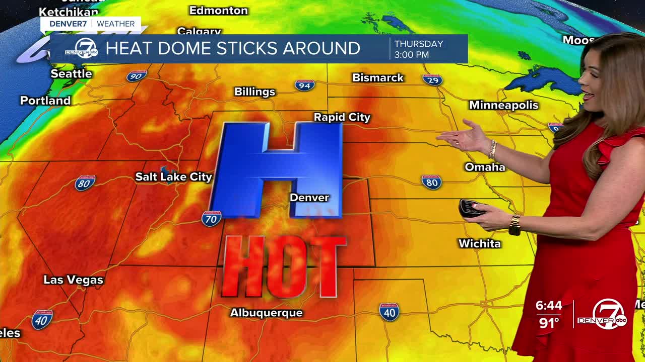


DENVER — The 90+ degree heat isn't going anywhere, anytime soon! The Denver metro area and Eastern Plains will sit in the 90s for the rest of the week and into the weekend, making for a long stretch of above-average, near record-breaking hot temperatures.
- Watch the full forecast in the video player below.
The storms are moving out of the mountains tonight and mostly clear skies will take over after midnight. Look for overnight lows to dip into the 50s in the High Country, and low to mid 60s in Denver and the plains.
We'll wake up to plenty of sunshine early Wednesday morning and temperatures will once again climb fast! Daytime highs will skyrocket back into the mid-90s by the late afternoon along the Urban Corridor.
Afternoon showers and thunderstorms will fire up again over the mountains, bringing some relief to firefighters battling fires across the state. Most lower elevation areas will stay dry, thanks to easterly winds aloft.
We're expecting monsoonal moisture to continue across the higher terrain throughout the week and into the weekend. While widespread rainfall is not expected in the mountains, some rainfall will be a welcome sight to see.
After another scorching hot weekend in the mid to upper 90s around the Denver metro area, rainy relief moves in early next week. It looks like the monsoon rain will return to the Front Range starting Monday afternoon and those afternoon storms could stick around for most of next week. We're expecting much cooler temperatures in the 80s starting Tuesday!
DENVER WEATHER LINKS: Hourly forecast | Radars | Traffic | Weather Page | 24/7 Weather Stream
Click here to watch the Denver7 live weather stream.
