



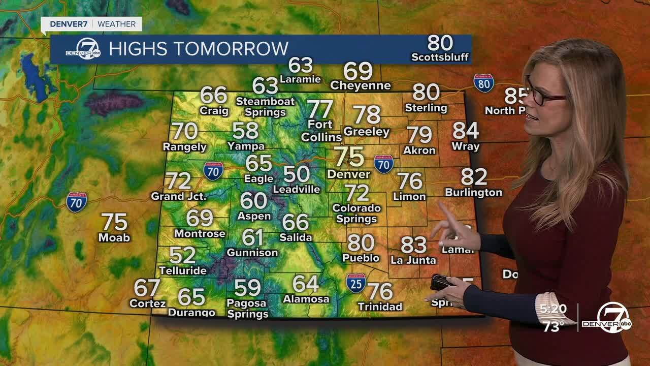
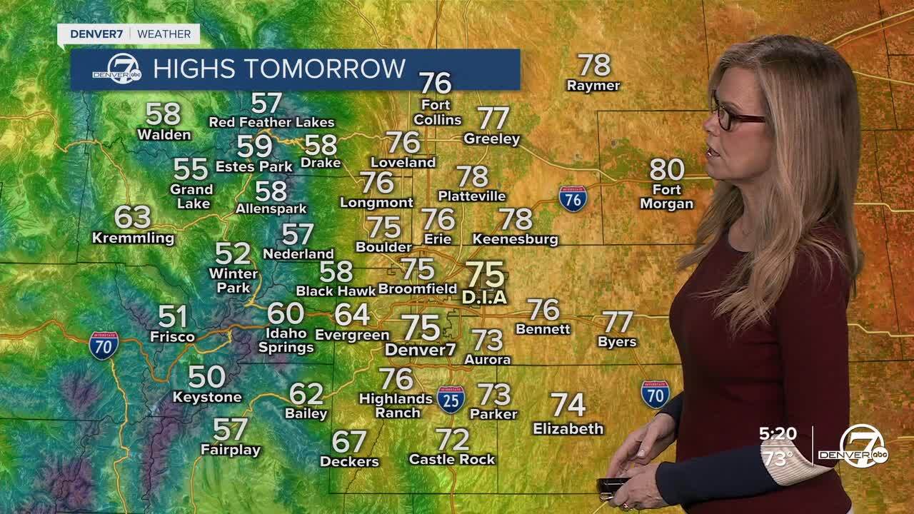
DENVER — Afternoon highs today made it into the 70s and 80s across the eastern plains and in the Denver metro area. Overnight lows will fall into the 40s with partly cloudy skies.
Sunday and Monday both look warm and dry, with more sunshine and a noticeable uptick in temperatures. It won’t be completely calm though, as breezy to windy conditions develop, especially in the afternoons.
Those warmer, drier, and breezy conditions will also bring some elevated fire weather concerns, especially on Sunday and Monday. We have a Red Flag Warning in effect for southern Colorado on Sunday and a Fire Weather Watch closer to Denver on Monday. Be aware that the conditions will make it easier for a fire to start with a small spark.
By Tuesday, a weak weather system moves in and shakes things up a bit. This one doesn’t look very strong, so we’re mainly expecting a chance for light showers rather than anything heavy or severe. Temperatures may cool off slightly, and clouds will likely increase, but overall it looks like a pretty mild and somewhat unsettled day without major impacts.
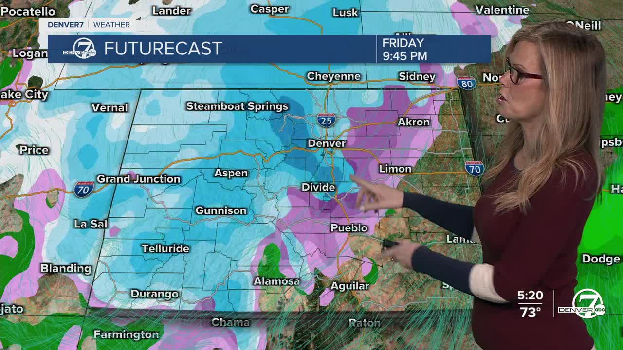
After that, things dry out again heading into Wednesday and Thursday. Expect a return to more sunshine, warmer temperatures, and generally calm weather. By the time we get to Friday and Saturday, chances for snow increase in the high country as well as the eastern plains and metro area.
DENVER WEATHER LINKS: Hourly forecast | Radars | Traffic | Weather Page | 24/7 Weather Stream
Click here to watch the Denver7 live weather stream.
