


Tonight will be much calmer across the region after a windy day. The strong gusts we saw earlier are tapering off, and skies will stay mostly clear. In the northern mountains, a few lingering snow showers around Rocky Mountain National Park and nearby ranges will continue for a bit longer before winding down later this evening. Overnight, winds will become light and temperatures will drop under mostly clear skies, making for a chilly but quiet night.
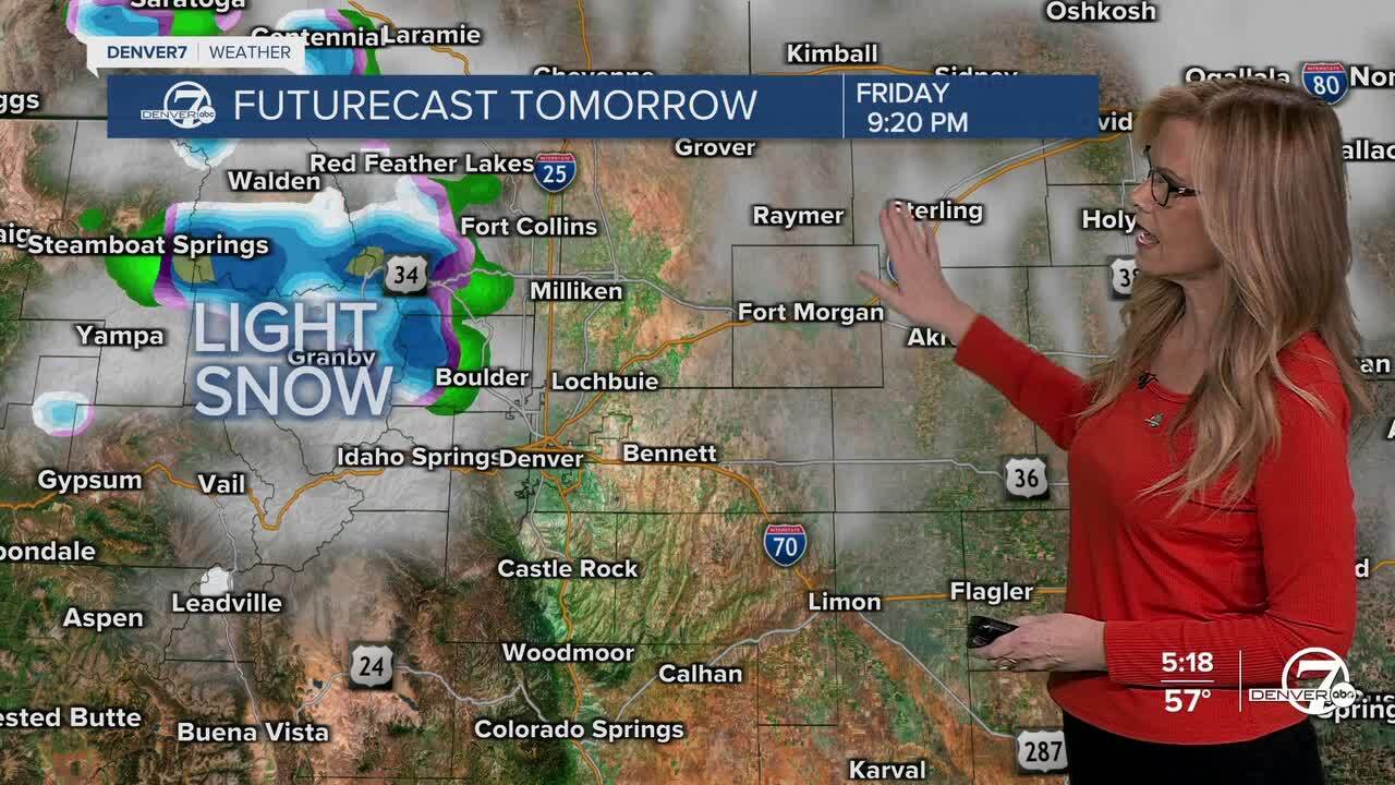
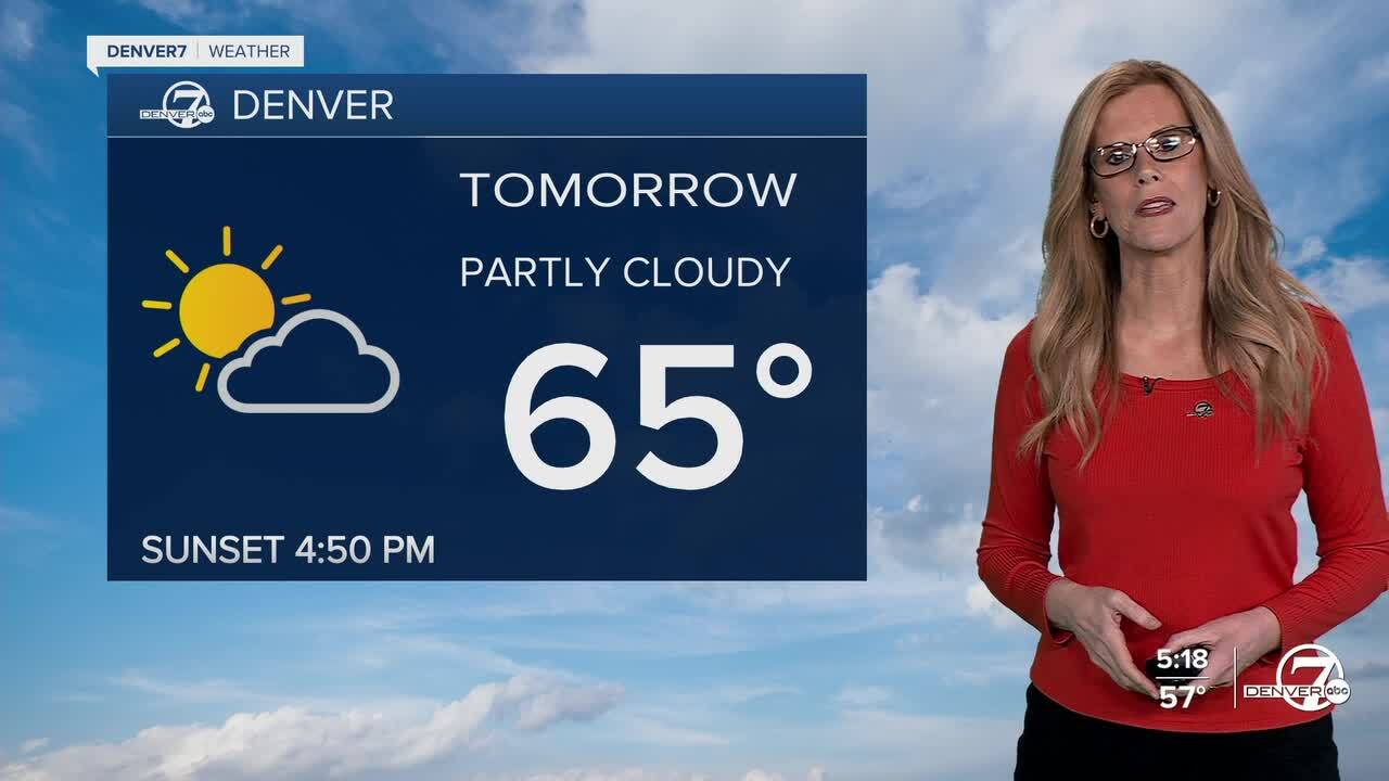
Friday looks nice and a bit warmer than normal for early November. Highs will climb to about 5 to 10 degrees above average, and winds will stay light across the plains. Mountain areas will remain cool, with another round of light snow developing late in the day for the northern ranges. Most of the activity will stay north of I-70, where snow showers could pick up again Friday night.
By late Friday night and into Saturday morning, a strong weather system will swing through northeastern Colorado. This will bring some light snow—mainly 1 to 4 inches—to the Park Range and Medicine Bow Range. A cold front will follow closely behind, sweeping across the plains around midnight. That front will set the stage for a much windier day on Saturday, especially for areas east and north of Fort Morgan.
Saturday itself will be windy again and noticeably colder. Winds could gust up to 50 mph across the plains, creating near-critical fire weather conditions despite the cooler air. If you’re planning to be outside, especially in open areas, it’ll be best to secure any loose items and avoid burning. Behind the front, much colder air settles in, bringing the coldest night of the season so far. Overnight lows will drop into the teens for many on the plains, with mountain valleys dipping even lower.
Looking ahead, the weather takes a big turn early next week. A broad ridge of high pressure will settle over Colorado starting Monday, leading to a stretch of warm, dry days. Temperatures will climb well above normal, some spots could even challenge record highs by midweek, with upper 70s possible across the plains. After the weekend’s chill and wind, next week will feel more like late September than mid-November.
DENVER WEATHER LINKS: Hourly forecast | Radars | Traffic | Weather Page | 24/7 Weather Stream
Click here to watch the Denver7 live weather stream.
