

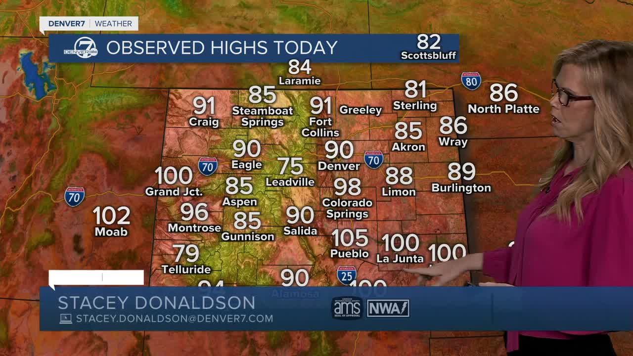


DENVER — Tonight will be cooler after a secondary cold front moves through the area. Temperatures will drop into the 50s across the plains, making for a more comfortable evening. A stray shower could pop up over far northeast Colorado, but most locations will stay dry.
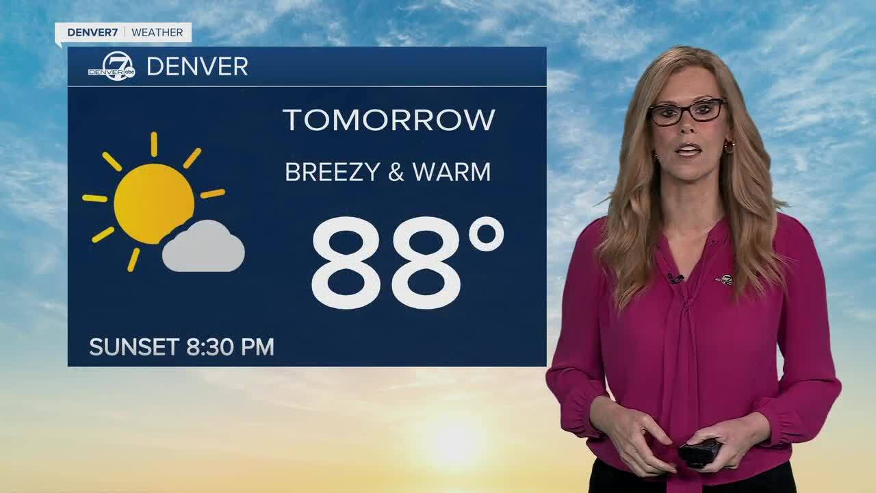
Thursday looks quiet with mostly sunny skies and highs returning to the upper 80s across the plains. The mountains and valleys will stay warm and dry, and while fire weather concerns will remain elevated, conditions are expected to stay just below critical levels.
Friday brings more of the same, with warm temperatures in the upper 80s and plenty of sunshine. A few light showers or thunderstorms may develop during the afternoon, mainly near the Palmer Divide and southern foothills, but most areas should remain dry.
Saturday will be the hottest day of the stretch, with temperatures climbing well into the 90s across the I-25 corridor and nearby plains. Fire weather conditions are expected to become critical again in the mountains and valleys, while strong to severe thunderstorms could develop across far northeast Colorado later in the day.
Sunday and Monday will turn more active as additional moisture moves into the region. Scattered showers and thunderstorms are expected both days, bringing cooler temperatures and a better chance for wetting rainfall across the area.
- Watch the full forecast in the video player below.
DENVER WEATHER LINKS: Hourly forecast | Radars | Traffic | Weather Page | 24/7 Weather Stream
Click here to watch the Denver7 live weather stream.
