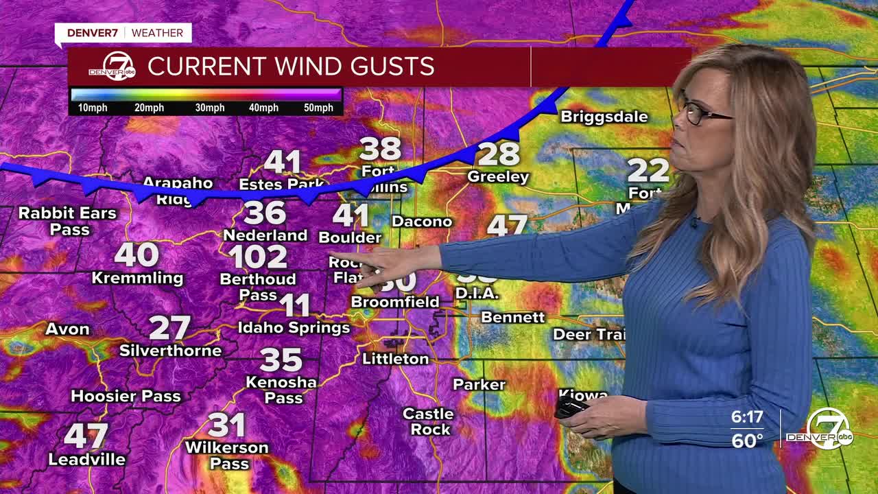


DENVER — Beginning tonight, strong downsloping winds along the foothills and the I-25 corridor will gradually come to an end this evening, though damaging gusts of 60 to 80 mph, with isolated gusts near 90 mph, are still possible overnight. A cold front moving south across the plains this evening will shift winds to the northwest, bringing gusts of 50 to 60 mph, especially across the northern and northeastern plains before winds slowly ease after midnight. A few rainshowers are also possible for metro Denver this evening as well.

In the mountains, very strong winds will persist tonight through Thursday morning, with gusts frequently reaching 80 to 90 mph. While there may be brief lulls overnight, conditions will remain hazardous at higher elevations, with winds only slowly weakening by late Thursday morning or early afternoon. These strong winds will continue to impact exposed ridges and passes.

Light snowfall will continue for the higher elevations- combined with strong winds, blowing snow and sharply reduced visibility will make travel treacherous, especially over mountain passes.

On Thursday and Friday, cool temperatures and gusty winds will remain a concern across much of the region. The strongest winds Thursday morning are expected over the northeastern plains, where gusts of 55 to 65 mph are possible. Another round of strong winds is likely late Thursday into Friday, particularly in the mountains and foothills, with lower confidence in how far east the strongest winds will spread. These windy and dry conditions may bring periods of elevated to critical fire weather, mainly on Friday.
The Denver metro area will have high fire danger for the end of the week with a Fire Weather Watch in effect for Friday.
Looking ahead to the weekend, mountain snowfall is expected to return late Friday into early Saturday as winds decrease and a weather system moves through. Snow chances linger into Saturday, with lighter and more limited chances on Sunday. A cold front will bring cooler temperatures to the plains Saturday, though highs will remain above normal. By early next week, quieter weather is expected with breezy conditions at times and warmer-than-average temperatures returning.
Weather will be excellent for the Bronco game on Sunday with highs in the 50s, partly cloudy skies, and a lot less wind.
DENVER WEATHER LINKS: Hourly forecast | Radars | Traffic | Weather Page | 24/7 Weather Stream
Click here to watch the Denver7 live weather stream.
