



DENVER — Showers will linger into tonight, with additional rain lined up to the south-southwest on radar. So even if you miss out on a thunderstorm, don’t be surprised if you see periods of light to moderate rain through the evening.
Rainfall should move along fairly quickly, which lowers the overall flash-flood threat, but minor flooding and a few rockslides will still be possible in the mountains. A Flood Watch remains in effect for SW Colorado near Telluride through midnight.
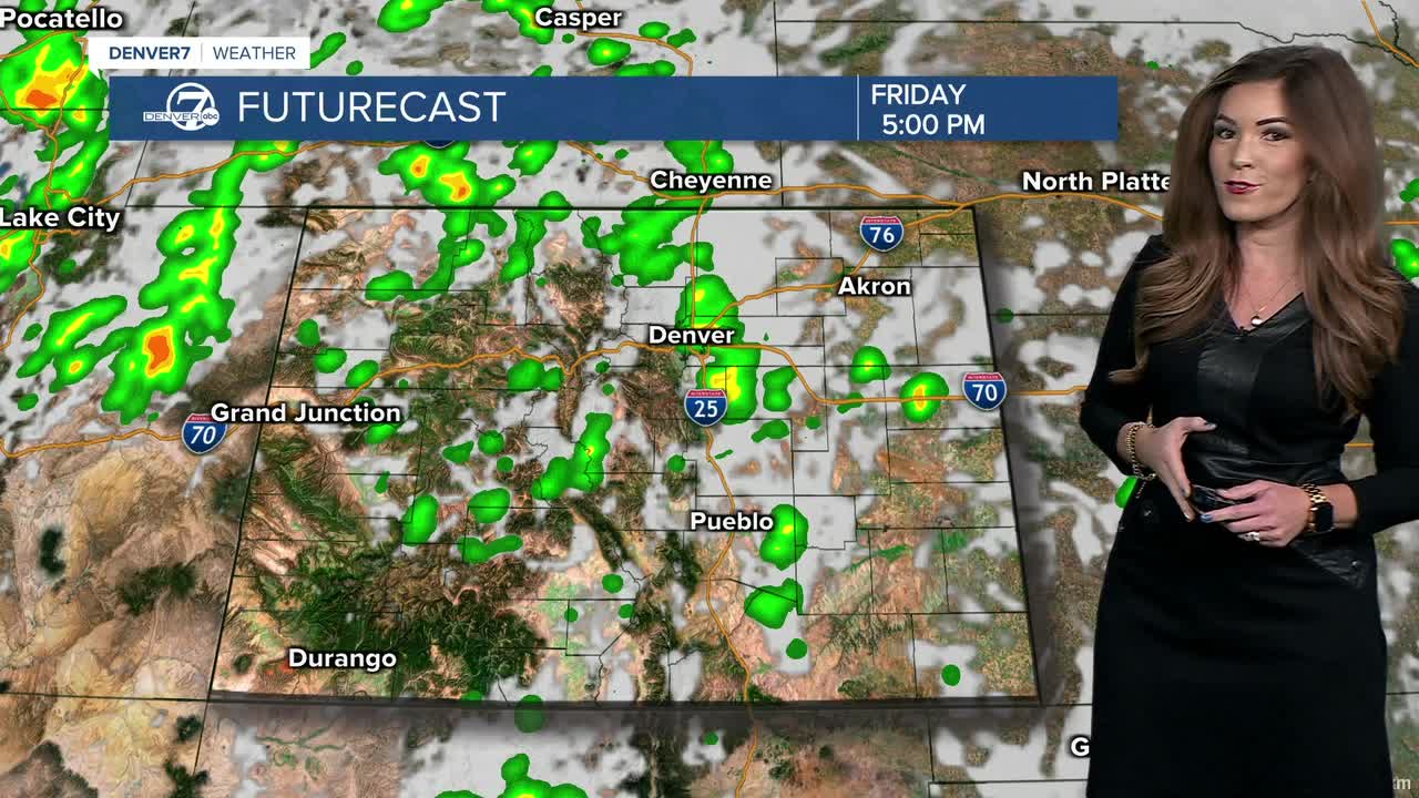
Friday looks active again, with scattered afternoon and evening thunderstorms developing over the mountains and moving toward the Interstate 25 corridor and plains. Moisture will remain well above normal, so heavy rain will still be the main concern. There should also be a little more sunshine, which could help storms become somewhat stronger. Look for highs in the low to mid 80s again Friday afternoon.
The unsettled pattern continues into the weekend. An upper-level low will slowly move east across southern Idaho and Wyoming, keeping plenty of moisture over Colorado. Saturday looks like the wetter day, with more widespread showers and thunderstorms expected as another disturbance moves through. Some storms could produce heavier rain, especially across the northeastern plains Saturday night.
Temperatures will stay much cooler than what we’ve been used to lately, with highs mainly in the 70s Saturday and Sunday. Sunday will be a few degrees cooler, which could actually limit how much thunderstorm activity develops despite plenty of moisture still hanging around.
The weather quiets down Monday as the upper-level low weakens and moves away. A weak ridge of high pressure will take over across Colorado, bringing a drier, more mild day before another unsettled pattern develops Tuesday. Look for a few scattered showers and thunderstorms as temperatures remain close to normal, with highs generally in the mid to upper 70s across northeast Colorado mid-week.
DENVER WEATHER LINKS: Hourly forecast | Radars | Traffic | Weather Page | 24/7 Weather Stream
Click here to watch the Denver7 live weather stream.
