

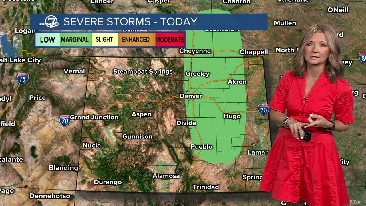


DENVER — It's a quiet and comfortable start to our Tuesday! You'll find clearing skies and temperatures in the 60s and 70s for the morning commute. But get ready for more of a bumpy afternoon as scattered storms and showers develop and roll east over the plains.
We'll first see those storms in the mountains by lunch. Storms will push through the metro area by early afternoon and then pick up some strength as they move east of I-25. The biggest threat Tuesday will be areas of heavy rain and localized flooding. A few cells could also produce some larger hail and gusty winds.
- Watch the full forecast in the video player below.
Temperatures will be more seasonal across the metro area, with low 90s by 2 p.m. We'll see a nice cool down after the showers roll through and you'll likely see upper 70s to low 80s by sunset.
Rinse and repeat on Wednesday — we'll see more scattered storms and showers by the afternoon, with more locally heavy rainfall. Highs hit the low 90s both Wednesday and Thursday.
Enjoy the cooler weather while it lasts because it gets hot and dry this weekend. We could see another triple-digit day on Sunday!
DENVER WEATHER LINKS: Hourly forecast | Radars | Traffic | Weather Page | 24/7 Weather Stream
Click here to watch the Denver7 live weather stream.
