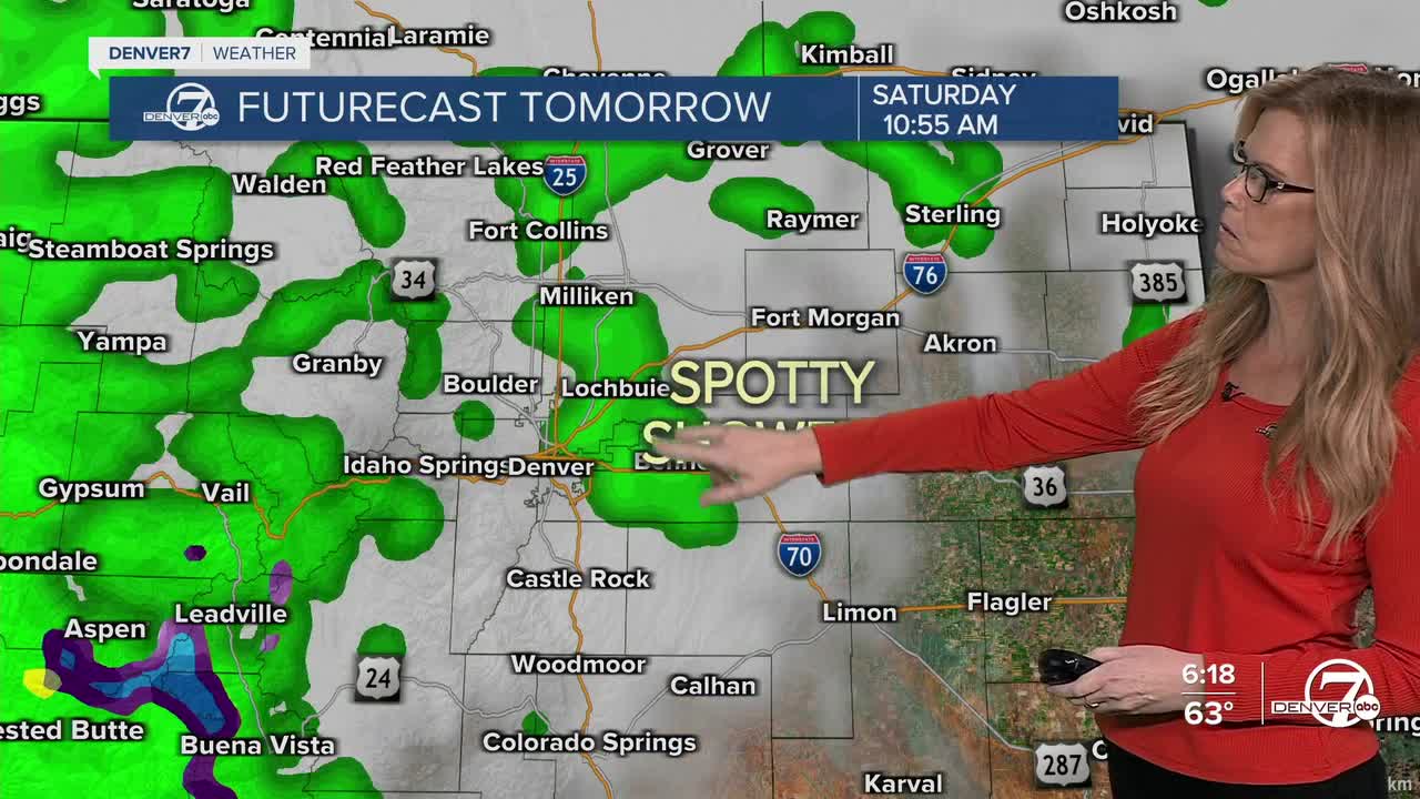


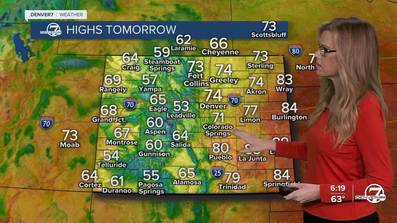
DENVER — Scattered showers and a few isolated thunderstorms will continue tonight and into Saturday, mostly affecting the mountains. Rainfall will be lighter across the plains, though some areas might catch a quick shower.

As the weekend continues, a colder air mass will sweep into the region. This system will drop temperatures significantly, especially at higher elevations, and snow levels will lower to around 9,000 feet. Several inches of snow are possible in places like the Park Range and the western slopes of the Front Range. Gusty winds will also pick up, with strong winds likely in the foothills and across the plains, making things feel even chillier.
Another push of moisture from the Pacific will bring additional chances for rain and mountain snow heading into early next week. It won’t be a total washout, but expect more unsettled weather with cooler temperatures sticking around for a bit longer. Snow will continue in the mountains, while lower elevations will mostly see rain.
Conditions will take a much drier and warmer turn by midweek. With dry air moving in and winds picking up from the south, temperatures are expected to climb well above normal. If skies stay clear, it could end up being one of the warmest stretches we’ve had in a while, and it might even flirt with record highs in some areas.
Looking further ahead, there's a growing signal that the first frost of the season could arrive between October 19th and 21st in the lower elevations. It’s still early to say for sure, but with cooler temperatures and even some chances for precipitation showing up in the models, it’s worth watching—especially if you’ve still got gardens or sensitive plants outdoors.
DENVER WEATHER LINKS: Hourly forecast | Radars | Traffic | Weather Page | 24/7 Weather Stream
Click here to watch the Denver7 live weather stream.
