


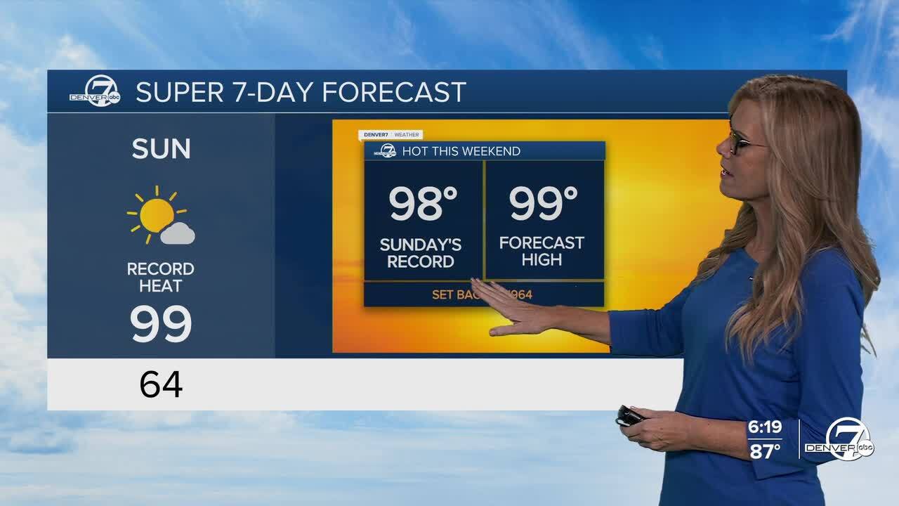
DENVER – We’re in for a dry and increasingly hot stretch starting Saturday. Temperatures will climb into the low to mid-90s on Saturday, with even hotter readings, mid to upper 90s, expected on Sunday and Monday.
Breaking record highs is also a possibility this weekend.
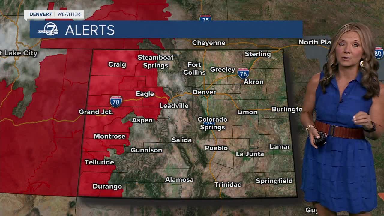
Humidity will stay low, which means it won’t feel too sticky, but the dry air combined with hot temps could bring elevated fire danger, especially in the high country.
Saturday might still feature a couple of gusty, high-based showers, but they’ll be few and far between.
By Sunday, the atmosphere will dry out even more, so most places will stay completely rain-free. If you’ve got outdoor plans for the weekend, the weather should mostly cooperate, just make sure to stay hydrated and be mindful of fire restrictions if you’re heading into the mountains or doing any camping.Looking ahead to next week, the hot and dry pattern won’t stick around forever.
By Tuesday or Wednesday, moisture is expected to creep back into the area. This means our chances for showers and thunderstorms will start going up again, especially along and east of the Front Range. It’s still a bit early, but there’s a decent shot at some soaking rain by mid to late week.
DENVER WEATHER LINKS: Hourly forecast | Radars | Traffic | Weather Page | 24/7 Weather Stream
Click here to watch the Denver7 live weather stream.
