

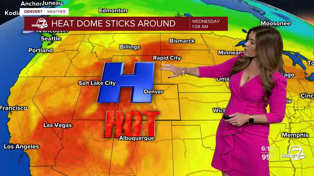


DENVER — It's a scorching hot start to the work week as highs skyrocket into the mid 90s across the Denver metro area all week long!
- Watch the full forecast in the video player below.
The hot, breezy and mostly dry weather pattern sticks around through the majority of the week. Tuesday through Thursday will bring lots of sunshine, afternoon highs in the mid 90s, and very little chance for rain across the plains. A few scattered storms may pop up in the mountains, as the monsoon rains make a comeback to parts of Colorado.
By Friday and into the weekend, temperatures remain above normal with the 90+ degree heat continuing across the region. Lather, rinse, repeat!
The extended stretch of hot, dry weather will also keep fire weather concerns elevated throughout the week. While conditions are expected to stay just below red flag warning criteria most days, dry vegetation and gusty afternoon winds will still increase the risk of fire spread.
Looking beyond the weekend, there are signs the upper-level high could shift farther south, allowing more monsoonal moisture to move into the area. It looks like thunderstorm chances will gradually increase in the Denver metro starting early next week.
For now, keep the sunscreen handy and AC running! A long stretch of hot, sunny and breezy summer weather is in store for much the state.
DENVER WEATHER LINKS: Hourly forecast | Radars | Traffic | Weather Page | 24/7 Weather Stream
Click here to watch the Denver7 live weather stream.
