



Tonight will stay warm with just a few lingering showers over the mountains before things quiet down after sunset. The plains will stay dry, and temperatures will remain on the mild side overnight.
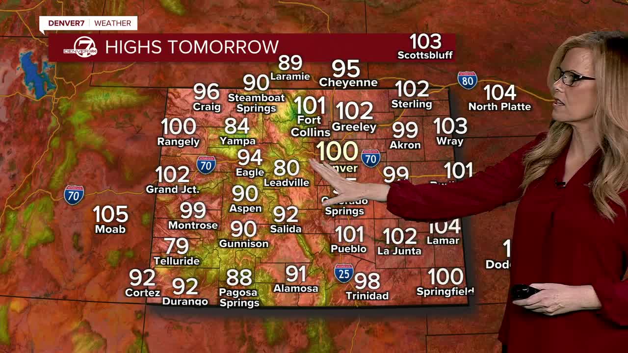
Monday will be the hottest day of the week, with highs around 100 degrees across the Denver metro, the I-25 Corridor, and nearby plains. A Heat Advisory remains in effect through Monday evening, so be sure to stay hydrated and limit time outdoors during the hottest part of the day. A few afternoon and evening thunderstorms will develop over the mountains, but the plains should stay dry.
By Tue
 kmgh
kmghsday, temperatures ease back just a little, though it will still be hot with highs in the low to mid 90s. A weak front may bring enough moisture for an isolated shower or storm near the foothills and Palmer Divide later in the day, while the mountains continue to see scattered afternoon storms.
 kmgh
kmghThe better monsoonal moisture is now expected to arrive late Wednesday into Thursday. As that happens, showers and thunderstorms will become more widespread, and some storms could produce locally heavy rainfall, especially where they move slowly.
Heat advisory for Monday with triple digit heatThe wetter pattern should stick around into late next week, bringing daily chances for afternoon and evening thunderstorms. Temperatures will cool only slightly, but the added moisture should help take the edge off the recent stretch of extreme heat.
DENVER WEATHER LINKS: Hourly forecast | Radars | Traffic | Weather Page | 24/7 Weather Stream
Click here to watch the Denver7 live weather stream.
