


DENVER — Late tonight, things change quickly as a strong cold front pushes through after midnight.
Once that front moves in, expect a noticeable drop in temperatures along with strong north winds that could gust up to around 45 mph for a time. The colder air will settle in overnight, and by early Friday morning, conditions will feel very different compared to today. Clouds will increase behind the front, setting the stage for snow.

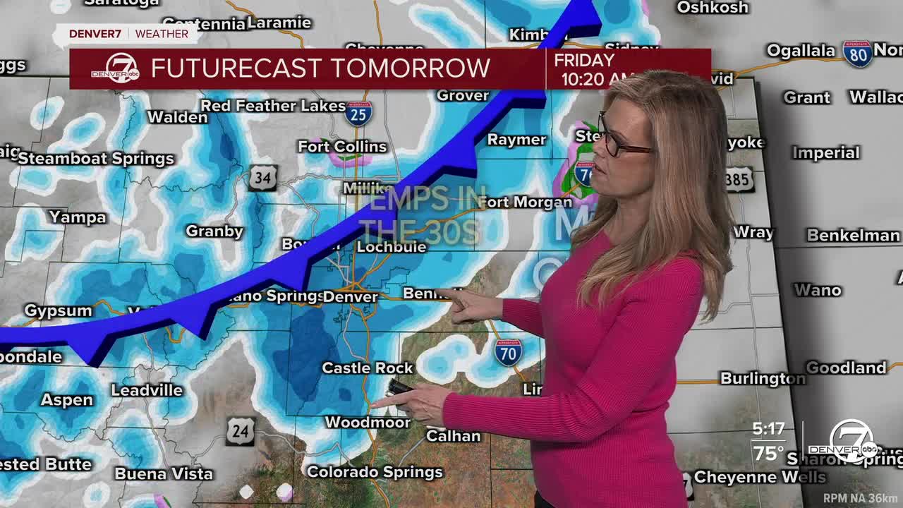
Friday will be a much colder, unsettled day with snow developing across much of the area. The mountains will see the most, with up to about 4-6 inches possible by Friday night. Lower elevations, including around Denver, will get lighter amounts, generally an inch or two, with a bit more possible in the foothills.

Roads may just be slushy in spots, but it’s not shaping up to be a major accumulation event for the plains. Highs will struggle to reach the upper 30s to low 40s.
Friday night brings clearing skies, but that also means temperatures will drop sharply. A hard freeze is expected across the plains, with lows falling into the upper teens and 20s. If you have plants or anything sensitive outdoors, they’ll need protection. It’ll feel more like mid-winter than mid-April by the time you wake up Saturday morning. A Freeze Warning is in effect Friday night into Saturday morning for temperatures around 20 degrees in Denver and across the plains.

The weekend improves pretty quickly after that. Saturday warms back into the 50s with more sunshine, and by Sunday we’re back into the 70s with dry conditions. That warming trend continues into early next week, with above-normal temperatures and mostly dry weather sticking around through at least midweek.
DENVER WEATHER LINKS: Hourly forecast | Radars | Traffic | Weather Page | 24/7 Weather Stream
Click here to watch the Denver7 live weather stream.