



Tonight will stay warm with temperatures only slowly cooling after highs in the 90s across the area this afternoon. A few isolated high-based showers or thunderstorms may develop over the mountains and drift eastward, producing gusty winds and perhaps a brief sprinkle in spots.

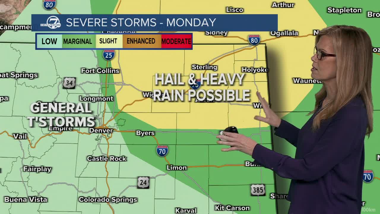
Monday brings a short break from the intense heat, with temperatures dropping a few degrees compared to the weekend. However, increasing moisture will create a better chance for afternoon and evening thunderstorms. Some storms could become severe, especially northeast of Denver, with large hail, damaging winds, and an isolated tornado possible.

The hottest weather returns Tuesday as temperatures climb back into the mid to upper 90s along the I-25 Corridor, with parts of the northeast plains approaching 100 degrees. Dry air and strong winds will combine to create widespread critical fire weather conditions, making outdoor burning and activities that could spark a fire especially dangerous.
Wednesday remains hot, though temperatures may ease slightly from Tuesday's peak. Fire weather concerns are expected to continue, particularly across the plains, as dry and breezy conditions persist. A cold front arriving Wednesday night should begin bringing temperatures closer to normal.
Thursday offers another brief round of heat relief with more comfortable temperatures. Dry weather is expected to continue through the end of the week, and a more noticeable cooldown is likely next weekend as temperatures trend below normal for early June.
DENVER WEATHER LINKS: Hourly forecast | Radars | Traffic | Weather Page | 24/7 Weather Stream
Click here to watch the Denver7 live weather stream.
