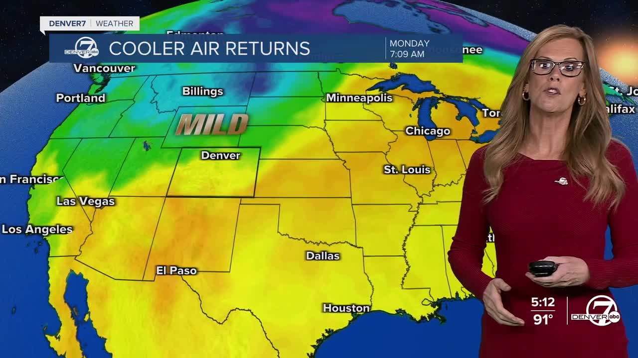


DENVER- Starting tonight, the weather will take a noticeable turn. Cooler air is moving in, and with it, we’ll see an increase in clouds and a good chance for showers and thunderstorms.

This unsettled weather will stick around through midweek, so expect a few stormy afternoons and evenings from Monday through Wednesday.
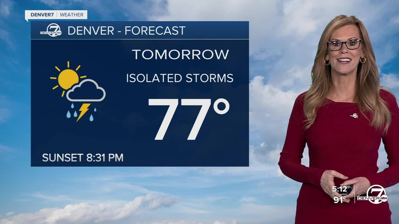
Temperatures will drop out of the hot 90s we’ve been seeing. Highs on Monday will likely be in the 70s across the plains, a bit warmer Tuesday with low 80s, then cooling back down into the 70s again on Wednesday. You’ll want to keep an umbrella or rain jacket handy these days—afternoon storms could be fairly widespread, especially in the foothills and plains.

The increase in rain chances comes with a boost in moisture in the atmosphere. By Monday afternoon, there’s expected to be plenty of water in the air to fuel thunderstorms, and the conditions look good for storms to build up each afternoon through Wednesday. The mountains will start to get in on the action by Tuesday as the moisture spreads westward. It won’t be a total washout, but several areas will see rain, especially late in the day.
Things begin to shift on Thursday as the atmosphere dries out and temperatures start climbing again. Expect a return to more typical summer weather by the weekend, with mostly sunny skies and just a slight chance of a late-day storm, mainly over the mountains. The plains will stay pretty dry from Thursday through Sunday.
As for the heat, it’ll be coming back. After our brief cool down early in the week, expect highs to climb back into the upper 80s and low 90s from Thursday through the weekend. So enjoy the cool-down and the rain while it lasts—summer heat is coming right back.
DENVER WEATHER LINKS: Hourly forecast | Radars | Traffic | Weather Page | 24/7 Weather Stream
Click here to watch the Denver7 live weather stream.
