


DENVER — Tonight, scattered showers and thunderstorms are expected across northeast Colorado, continuing from activity that began earlier in the evening. Some of these storms could be strong, especially across the northeast plains. Most storms, however, will stay below severe limits. As the evening progresses, the thunderstorms will become more scattered, transitioning to lighter showers overnight as the weather system moves through the region.

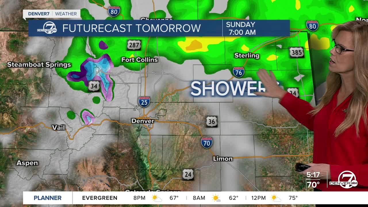
By early Sunday morning, some lingering showers may continue across northeastern parts of the state, especially as wrap-around moisture follows the departing system. These showers will gradually move out from west to east through the morning hours,

although some could linger into the afternoon near the northeast corner. Skies will slowly begin to clear, and temperatures are expected to be cooler, with highs reaching the lower to mid-70s.

On Monday, conditions will temporarily dry out as a westerly flow develops behind the departing system. This will bring a return to warmer temperatures, with highs climbing into the lower to mid-80s across northeast Colorado. It should be a relatively quiet and pleasant day before another weather system begins to move in from the north.
Tuesday and Wednesday will bring another round of unsettled weather. A cold front is expected to arrive Tuesday, bringing cooler temperatures and another chance for showers. This pattern of unsettled weather will linger into midweek, keeping conditions cooler and the potential for showers in the forecast.
Later in the week, from Thursday through Saturday, the forecast becomes more stable. Weather models are showing signs of a ridge of high pressure building over the Rockies, which would bring warmer and drier conditions. While there’s still a slight chance of isolated showers or storms if enough moisture sneaks in, most areas should experience dry weather with temperatures near or above normal for this time of year.
DENVER WEATHER LINKS: Hourly forecast | Radars | Traffic | Weather Page | 24/7 Weather Stream
Click here to watch the Denver7 live weather stream.
