


DENVER — February finally feels and looks like February, especially in the mountains!
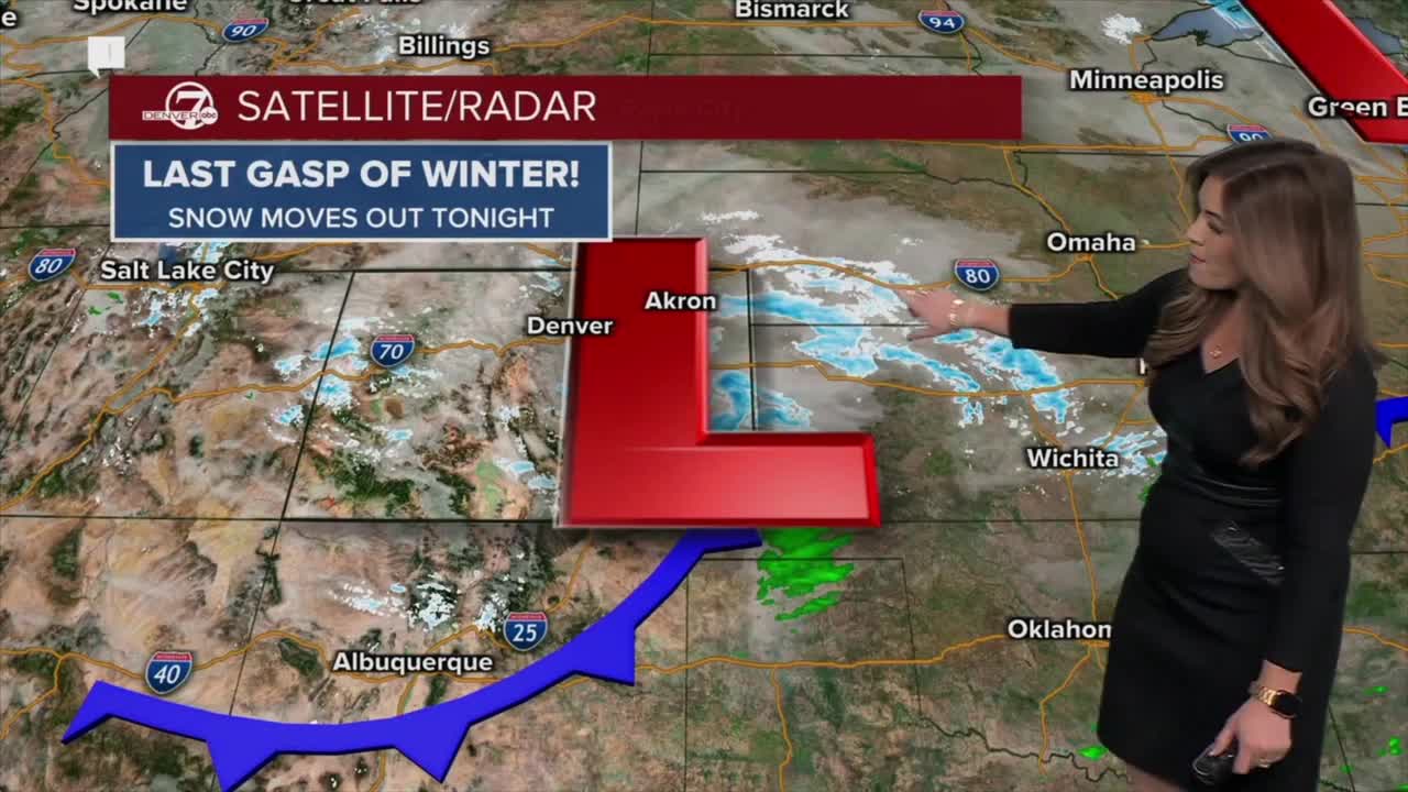
Snow showers are winding down across the High Country this evening as Winter Weather Advisories west of the Divide expire at 11pm. Many local ski resorts picked up nearly a foot of fresh powder from this storm, so it'll be a fantastic weekend for skiing and snowboarding around the state.
Here in the city, look for a few flurries tonight but we won't get any accumulation around the Denver metro area. Skies will gradually clear as overnight lows drop into the teens along the Interstate 25 corridor.
The sunshine is back in action Saturday across the state. Daytime highs will be seasonal in the mid to upper 40s this weekend in the Denver metro. Grab the jacket and get outside and enjoy the more February-like weather conditions.
A ridge of high pressure builds back into Colorado early next week, bringing above-average temperatures. Highs will be in the 60s each day next week. Denver will be close to breaking a record Tuesday afternoon as highs get close to 70-degrees.
DENVER WEATHER LINKS: Hourly forecast | Radars | Traffic | Weather Page | 24/7 Weather Stream
Click here to watch the Denver7 live weather stream.
