

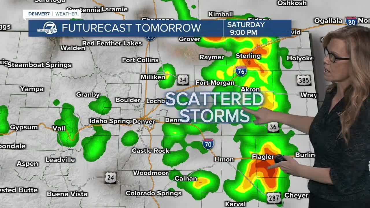


Saturday looks like the most active day of the weekend, with a better chance for showers and thunderstorms across the area. A few storms could become severe, especially east of the I-25 Corridor, with heavy rain and strong winds possible.
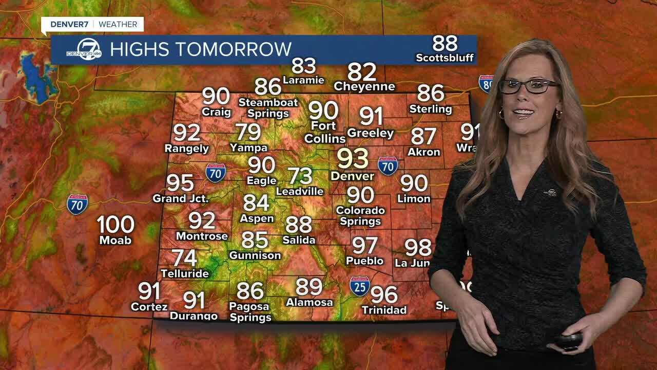
Sunday should be a little less stormy overall, but scattered afternoon and evening storms will still be around. A few severe storms could develop again across the plains, mainly east of the I-25 Corridor.
Next week, the pattern gradually dries out, but we’ll still have daily storm chances through at least Wednesday or Thursday. The storms should become more isolated as the week goes on.
Temperatures will cool slightly next week, with highs mostly in the lower 90s across the plains and along the I-25 Corridor. Even with the cooling, though, it’ll still be warmer than normal for late August.
DENVER WEATHER LINKS: Hourly forecast | Radars | Traffic | Weather Page | 24/7 Weather Stream
Click here to watch the Denver7 live weather stream.
